List of cities proper by population
| Population tables of world cities |
|---|
.jpg) |
This article lists the most populous cities in the world defined according to a concept of city proper. A city proper is a locality defined according to legal or political boundaries and an administratively recognised urban status that is usually characterised by some form of local government.[1][2][3] Cities proper and their boundaries and population data may not include suburbs.[4]
World Urbanization Prospects, a UN publication, defines population of a city proper as "the population living within the administrative boundaries of a city or controlled directly from the city by a single authority." The book continues to say that "city proper as defined by administrative boundaries may not include suburban areas where an important proportion of the population working or studying in the city lives."[4] This definition does not give an accurate picture of the urban area or metropolitan area of cities. Using this strictly administrative definition, many cities will be included on this list that are smaller than their urban area. However, many Chinese cities included govern territories that extend well beyond the traditional "city proper" into suburban and rural areas.[5]
Cities proper by population
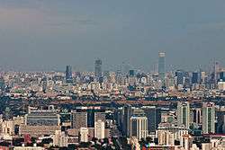
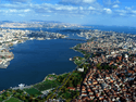
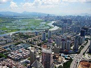
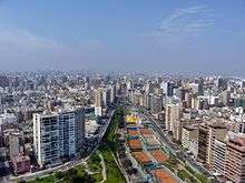
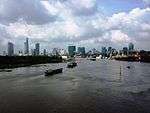
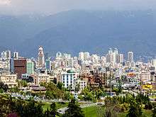
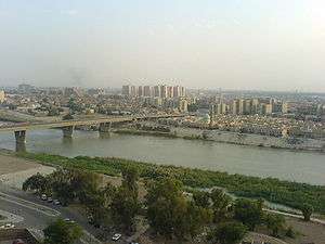
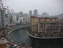
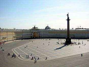
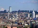
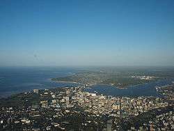
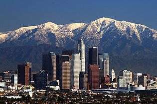
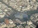
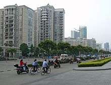
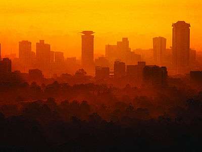
.jpg)

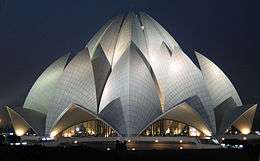
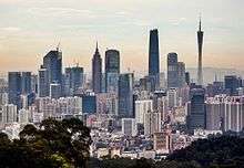
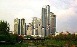
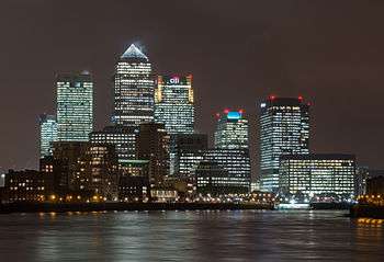
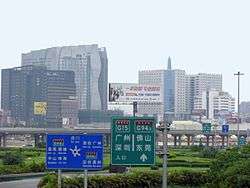
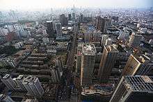
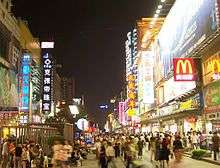
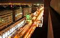
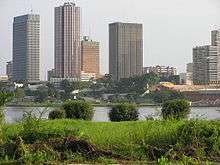
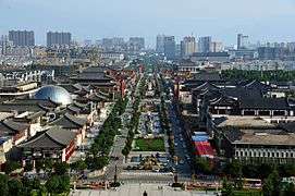
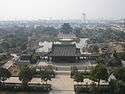
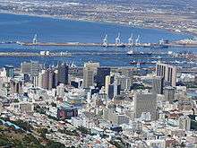
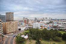
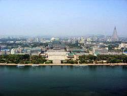
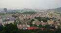
.jpg)
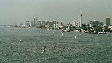
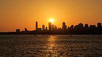
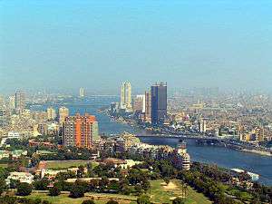
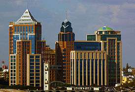
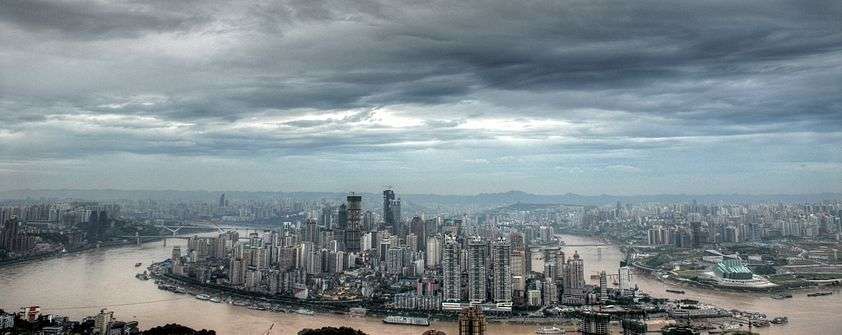
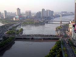
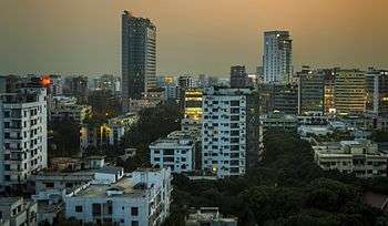
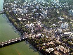
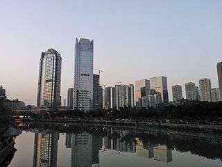
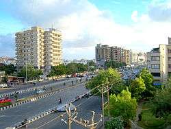
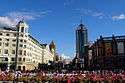
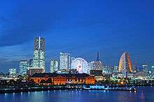
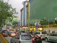
.jpg)


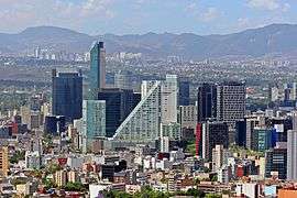

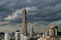


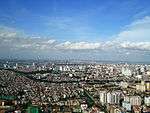
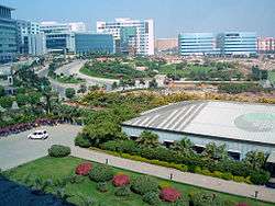


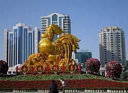
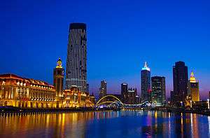
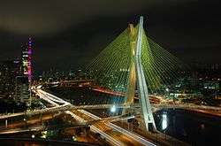
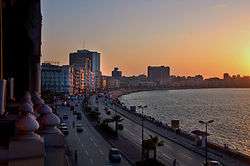
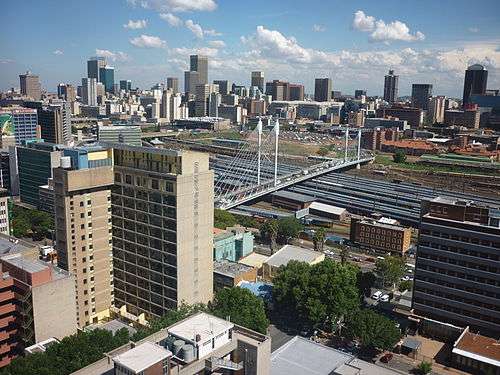
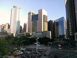
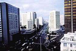
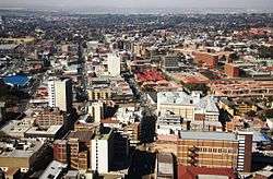
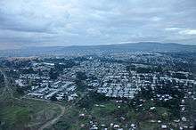
.jpg)


_1.jpg)

Notes
- ↑ Metropolitan Lagos consists 16 out of Lagos State's 20 LGA, which excludes: Badagry, Epe, Ibeju-Lekki and Ikorodu.[13]
- ↑ Sum of the 2014 population estimates for the "urban-function core district" and "urban-function extended district" of Chongqing, which were 3,677,600 and 4,512,200 respectively.[62] See also the next note.
- ↑ The nine districts of Yuzhong, Jiangbei, Shapingba, Jiulongpo, Nan'an, Dadukou, Banan, Yubei and Beibei together comprise the area commonly referred to as Central Chongqing (重庆主城区). The first six districts make up the "urban-function core district" (都市功能核心区) and the last three comprise the "urban-function extended district" (都市功能拓展区) defined by the Chongqing municipal government.[63][64][65]
- ↑ Sum of the areas of the "urban-function core district" and "urban-function extended district" of Chongqing.[63] See also the previous note.
References
- ↑ "World Urbanization Prospects: The 2007 Revision Population Database". Esa.un.org. Retrieved 26 July 2010.
- ↑ "United Nations Statistics Division – Demographic and Social Statistics". Millenniumindicators.un.org. Retrieved 26 July 2010.
- ↑ Demographic Yearbook 2005, Volume 57. United Nations. 2008. p. 2; 756. ISBN 92-1-051099-2.
- 1 2 World Urbanization Prospects: The 2003 Revision. United Nations. 2004. ISBN 92-1-151396-0.
- ↑ Alexander, Ruth (29 January 2012). "The world's biggest cities: How do you measure them?". BBC News. Retrieved 16 March 2015.
- ↑ 2014年上海市国民经济 [Shanghai Economic and Social Development Statistical Bulletin 2014] (in Chinese). 28 February 2015. Retrieved 1 May 2015.
- ↑ "Land Area". Basic Facts. Shanghai Municipal People's Government. Retrieved 19 July 2011.
- ↑ Amer, Khawaja (10 June 2013). "Population explosion: Put an embargo on industrialisation in Karachi". The Express Tribune. Retrieved 28 February 2016.
- ↑ "Town/District Maps". Urban Habitat.
- ↑ 北京市2014年国民经济和社会发展统计公报 [Beijing Economic and Social Development Statistical Bulletin 2014] (in Chinese). Beijing Bureau of Statistics. 12 February 2015. Retrieved 1 May 2015.
- ↑ "Doing Business in China – Survey". Ministry Of Commerce – People's Republic Of China. Retrieved 5 August 2013.
- ↑ "India: Delhi". citypopulation.de. citypopulation.de. Retrieved 20 October 2015.
- ↑ "Population-Lagos State". Lagos State Government. Archived from the original on 18 October 2015. Retrieved 21 February 2016.
- ↑ The surface of the Metropolitan Lagos is 1171 square kilometres, but 171 square kilometres is water (lagoon).
- ↑ "2013年天津市国民经济和社会发展统计公报数据". Enorth.com.cn. Retrieved 1 March 2014.
- ↑ "CHINA: Administrative Division of Tianjin (天津市)".
- ↑ "The Results of Address Based Population Registration System, 2013". Turkish Statistical Institute. Retrieved 13 January 2016.
- ↑ The city, considered capital of Istanbul Province, is administered by the Istanbul Metropolitan Municipality (IMM), which oversees the thirty-nine districts of the city-province (thirty-six urban districts and three rural districts).
- ↑ Sources have provided conflicting figures on the area of Istanbul. The most authoritative source on this figure ought to be the Istanbul Metropolitan Municipality (MMI), but the English version of its website suggests a few figures for this area. One page states that "Each MM is sub-divided into District Municipalities ("DM") of which there are 27 in Istanbul" [emphasis added] with a total area of 1,538.9 square kilometers (594.2 sq mi).[73] However, the Municipal History page appears to be the most explicit and most updated, saying that in 2004, "Istanbul Metropolitan Municipality's jurisdiction was enlarged to cover all the area within the provincial limits". It also states a 2008 law merged the Eminönü district into the Fatih district (a point that is not reflected in the previous source) and increased the number of districts in Istanbul to thirty-nine.[74] That total area, as corroborated on the Turkish version of the MMI website,[75] and a recently updated Jurisdiction page on the English site[76] is 5,343 square kilometers (2,063 sq mi)..
- 1 2 3 "2015 Population Census". Statistics Bureau, Ministry of Internal Affairs and Communications. Retrieved 13 August 2016.
- ↑ 2014年广州市国民经济和社会发展统计公报 [Guangzhou Economic and Social Development Statistics Bulletin 2014] (in Chinese). Guangzhou Daily. 22 March 2015. Retrieved 1 May 2015.
- ↑ "土地面积、人口密度(2008年)". Statistics Bureau of Guangzhou. Retrieved 8 February 2010.
- 1 2 "Greater Mumbai (Maharashtra, India) - Population Statistics and Location in Maps and Charts - City Population". Citypopulation.de. Retrieved 19 July 2016.
- ↑ Mumbai City consists of two distinct regions: Mumbai City district (Island City) and Mumbai Suburban district (Western Suburban and Eastern Suburban), grouped into 24 wards, under the administration of Brihanmumbai Municipal Corporation (BMC). The remaining area belongs to Defence, Mumbai Port Trust, Atomic Energy Commission and Borivali National Park, which are out of the jurisdiction of the BMC.
- ↑ "RUSSIA: Moscow". mos.ru. Retrieved 2015. Check date values in:
|access-date=(help) - ↑ "Территориальное устройство". Moscow City Government.
- ↑ The federal city of Moscow is divided into twelve administrative okrugs, which are in turn subdivided into districts (raions).
- 1 2 "Ministry of Economic Development of the Russian Federation. Federal Registration, Cadastre&Cartography Service. Russia Landuse National Report 2008, p.187-188 (in Russian)" (PDF). Retrieved 5 October 2014.
- ↑ "2014 Brazilian Cities Population Estimates" (PDF) (in Portuguese). IBGE. Retrieved 2 October 2014.
- ↑ Administratively, the Municipality of São Paulo is divided into 31 subprefectures, each in turn divided into 96 districts. Locally, districts may contain one or more neighborhoods (bairros). The city of São Paulo recognizes ten geographical areas used to reference locations in the city.
- ↑ "Shenzhen Statistics". Shenzhen Government Online. Retrieved 2011. Check date values in:
|access-date=(help) - ↑ "Shenzhen General Info". Shenzhen Government Online. Retrieved 2011. Check date values in:
|access-date=(help) - ↑ "Data Jumlah Penduduk DKI Jakarta (2014)". Dinas Kependudukan dan Pencatatan Sipil Provinsi DKI Jakarta. Retrieved 5 December 2015.
- ↑ "INDONESIA: Administrative Division". Retrieved 5 October 2014.
- ↑ http://www.pbs.gov.pk/ (PDF). Pakistan Bureau of Statistics http://www.pbs.gov.pk/sites/default/files/population_census/Administrative%20Units.pdf. Retrieved 13 January 2016. Missing or empty
|title=(help); External link in|website=(help) - ↑ "Demographia World Urban Areas" (PDF). Demographia. Retrieved 16 June 2016.
- ↑ 2016년 5월 행정자치부 주민등록 인구통계
- ↑ "Seoul Statistics (Land Area)". Seoul Metropolitan Government. Retrieved 2012. Check date values in:
|access-date=(help) - ↑ "武汉市2010年第六次全国人口普查主要数据公报--湖北省统计局 (Main Data from Wuhan 2010 Census)". Hubei Provincial Statistics Bureau. 9 August 2011. Retrieved 26 August 2016.
- ↑ The sub-provincial city of Wuhan has direct jurisdiction over 13 districts (eight urban/five rural). The city proper (urban) based on the districts of Jiang'an, Jianghan, Qiaokou, Hanyang, Wuchang and Qingshan considered "core districts" + Inner suburbs (districts): Hongshan, Dongxihu.
- ↑ Wuhan Statistical Yearbook 2010 p. 15
- 1 2 "Demographia World Urban Areas (2014)" (PDF). Demographia. Retrieved 17 March 2014.
- ↑ "Evenements: "Avec une population de 9,5 millions, Kinshasa est la troisième plus grande ville sur le continent africain, de taille égale à Johannesburg. Le Kinois (habitants de Kinshasa) sont connus pour leur sens de l'humour, leur musique et leur amour pour la danse."(2013)". Ville de Kinshasa.
- ↑ The province of Kinshasa is divided into twenty-four districts, administered by the Metropolitan Municipality of Kinshasa. But the districts (communes) of Maluku and Nsele (N'Sele) are rural and not part of the city proper. The city proper (urban area) of Kinshasa is generally considered to be formed by twenty-two "communes".
- ↑ According to the Constitution of Democratic Republic of the Congo, the province of Kinshasa covers 9965.21 km2. Maluku and N'Sele (total area 8847.59 km2) are entirely rural, with a very very low density.
- ↑ "Egypt". citypopulation.de. Retrieved 20 October 2015.
- ↑ In April 2011, Prime Minister Essam Sharaf abolished the Helwan Governorate and reincorporated its territory into the Cairo Governorate. The total area of the governorate is 3085.1 square kilometers, the city area is 453 square kilometers, but the Egyptian government considered the Cairo Governorate is that a whole city and all statistics relate to the "governorate".
- ↑ "EGYPT: Cairo". Retrieved 5 October 2014.
- ↑ "MEXICO: Mexico City (2014)". CityPopulation.De. Retrieved 15 March 2014.
- ↑ Consejo Nacional de Población, México; Delimitación de las zonas metropolitanas de México 2005 Retrieved on 26 November 2010.
- ↑ "PERU: Lima population". La Republica.
- ↑ The province of Lima is divided into forty three "districts of Lima" which are administered by the Metropolitan Municipality of Lima.
- ↑ "Population Estimates for UK, England and Wales, Scotland and Northern Ireland". ONS. 23 June 2016. Retrieved 26 June 2016.
- ↑ The 33 local authorities are the 32 London borough councils and the City of London Corporation.
- ↑ "Census Estimates (2015)". United States Census Bureau. Retrieved 24 March 2016.
- ↑ New York City is composed of five boroughs: Manhattan, The Bronx, Brooklyn, Queens, Staten Island
- ↑ "Bangalore (Karnataka, India) - Population Statistics and Location in Maps and Charts - City Population". Citypopulation.de. Retrieved 5 April 2014.
- ↑ "Table 1 Population by sex, household type and household by type, average size of private household by region and area: 2010". Statistic tables, NSO website. National Statistics Office. Retrieved 18 September 2012.
- ↑ Bangkok is subdivided into 50 districts (khet เขต, also sometimes wrongly called amphoe อำเภอ as in the other provinces, derived from Pali khetta, cognate to Sanskrit kṣetra), which are further subdivided into 169 khwaeng แขวง, roughly equivalent to tambon ตำบล in the other provinces.
- 1 2 3 4 Statistical Handbook of Vietnam 2014, General Statistics Office Of Vietnam
- ↑ "China – Guangdong Province (2010)". GeoHive. Retrieved 14 March 2014.
- ↑ 2014年重庆市国民经济和社会发展统计公报 [Chongqing Economic and Social Development Statistical Bulletin 2014] (in Chinese). Chongqing Bureau of Statistics. 16 March 2015. Retrieved 26 May 2015.
- 1 2 "Position of Five Function Districts in Chongqing". Chongqing Municipal Government. 22 September 2013. Retrieved 26 May 2015.
- ↑ 五大功能区域: 都市功能核心区 [Five Functional Districts: Urban-function Core District]. CQNEWS Corporation. Retrieved 26 May 2015.
- ↑ Te Kan (9 November 2007). "New city group in the making". China Daily. Beijing. Retrieved 26 May 2015.
- ↑ "Census (2014)". Nanjing Municipal Bureru Statistucs. Retrieved 19 January 2015.
- ↑ "IRAN: Tehran City (Census 2011)". CITY POPULATION.DE. Retrieved 25 February 2014.
- ↑ "TEHRAN: Administrative Districts". Retrieved 5 October 2014.
- ↑ "About Teheran". Tehran Municipality. Retrieved 25 February 2014.
- ↑ "2010年沈阳市第六次全国人口普查主要数据公报(Sixth National Population Census of the People's Republic of China". National Bureau of Statistics of China.
- ↑ "Estimaciones y proyecciones de hogares y viviendas". DANE (2014).
- ↑ The Capital District of Bogotá is divided into twenty districts, administered by the Metropolitan Municipality of Bogotá.
- ↑ "Límites". Bogota Government Corporation.
- ↑ The district of Sumapaz is completely rural (no city services) and is not part of the city proper. The area was an important pilgrimage arheoligic site for the Muisca indigenous peoples in pre-Columbian times and for visiting the Sumapaz National Park. The district of Sumapaz represents 0.1% of the population (48% "area") of Bogotá Municipality.
- ↑ "Ningbo 2011 population report issued". Ningbo Municipal People's Government.
- ↑ "Hong Kong Statistics". Census and Statistics Department. The Government of the Hong Kong Special Administrative Region. Retrieved 4 December 2015.
- ↑ The only legally defined city in Hong Kong is the City of Victoria but it serves almost no administrative function.
- ↑ "Hong Kong Geographic" (PDF). The Government of the Hong Kong Special Administration Region. Retrieved 10 March 2014.
- ↑ "Demographic Statistics of Iraq (2009)". Central Statistical Government of Iraq. Retrieved 5 March 2014.
- ↑ The province of Baghdad is divided into nine district, administered by the Metropolitan Municipality of Baghdad. The districts are distributed into 89 Neighborhood Councils.
- ↑ There are many disputes about Baghdad city (urban) area. The city of Baghdad has the special status of provincial. The demographic information reported to the city proper are non-existent or are the estimates, projections inconclusive. The Metropolitan Municipality of Baghdad is a city "federal district – province". Is similar to the case of Cairo Governorate.
- ↑ Hunan Stastical Bureau (2011-5-13): Hunan Major data communique of National Census 2010
- ↑ Based on the following districts: Furong, Tianxin, Yuelu, Kaifu, Yuhua; see Administration
- ↑ "Population & Housing Census-2011" (PDF). Bangladesh Bureau of Statistics. p. 41. Retrieved 20 October 2015.
- ↑ Brinkhoff, Thomas. "Bangladesh: Districts and Cities". CityPopulation. Retrieved 20 October 2015.
- ↑ "Greater Hyderabad (Maharashtra, India) - Population Statistics and Location in Maps and Charts - City Population". Citypopulation.de. Retrieved 19 July 2016.
- ↑ "Greater Hyderabad Municipal corporation 2010". GHMC. Retrieved 4 December 2010.
- ↑ "Chennai: India Smart Cities Challenge". Official website of Smart Cities Challenge, India. Retrieved 2016-07-19.
- ↑ Chennai city is governed by the Chennai Corporation, dividing into three regions – fifteen districts: North (Tiruvottiyur, Manali, Madhavaram, Tondiarpet and Royapuram), South (Valasaravakkam, Alandur, Adyar, Perungudi and Sholinganallur) and Central (Thiru-Vi-Ka Nagar, Ambattur, Anna Nagar, Teynampet and Kodambakkam), which covers 200 wards. Of the total land area, reserved forests cover 2.71 km2 and is concentrated in and around the Guindy National Park region, one of the few national parks in the world located within a city.
- ↑ "Expanded Chennai Corporationto be divided into 3 regions". The Hindu. Retrieved 22 March 2014.
- ↑ "ESTIMATIVAS DA POPULAÇÃO RESIDENTE NOS MUNICÍPIOS BRASILEIROS COM DATA DE REFERÊNCIA EM 1º DE JULHO DE 2013" (PDF) (in Portuguese). IBGE. Retrieved 31 August 2013.
- ↑ "Instituto Brasileiro de Geografia e Estatística (2013)". Retrieved 5 October 2014.
- ↑ http://phonebookoftheworld.com/faisalabad/
- ↑ "佛山2010年第六次全国人口普查主要数据公报[1]". City of Foshan. Retrieved 30 January 2014.
- ↑ Districts of Changcheng, Nanhai, Shunde; see Foshan#Administration
- ↑ "About Foshan". City of Foshan. Retrieved 11 March 2014.
- ↑ "Chile – Santiago (Census 2012)". Retrieved 1 March 2014.
- ↑ The province of Santiago is divided into thirty-two districts, administered by the Metropolitan Municipality of Santiago. But the district of Lo Barnechea is rural (mountains) and is not part of the city proper. The city proper (urban area) of Santiago is generally considered to be formed by thirty-one districts (Province of Santiago), the district of Puente Alto (Province of Cordillera), and the district of San Bernardo (Province of Maipo).
- ↑ "Composition of Population (2012)" (PDF). Arriyadh Development Authority. Retrieved 4 March 2014.
- ↑ Riyadh is divided into 15 branch municipalities, in addition to the Diplomatic Quarter. Each branch municipality in turn contains several districts, amounting to over 130 in total, though some districts are divided between more than one branch municipality. The branch municipalities are Al-Shemaysi, Irqah, Al-Ma'athar, Al-Olayya, Al-Aziziyya, Al-Malaz, Al-Selayy, Nemar, Al-Neseem, Al-Shifa, Al-'Urayja, Al-Bat'ha, Al-Ha'ir, Al-Rawdha, and Al-Shimal ("the North").
- ↑ Arriyadh Development Authority (Investment_Arriyadh_2013)
- 1 2 3 "Cities having population 1 lakh and above" (PDF). censusindia. The Registrar General & Census Commissioner, India. Retrieved 18 October 2011.
- 1 2 "Population & Land Area (Mid-Year Estimates)". Statistics Singapore. Retrieved 4 December 2015.
- ↑ "现将汕头市2010年第六次全国人口普查分区县常住人口[2]数据公布如下:". 汕头市2010年第六次全国人口普查 主要数据公报[1]. Retrieved 30 January 2014.
- ↑ "Demographia World Urban Areas (2014)" (PDF). Demographia. Retrieved 11 March 2014.
- ↑ Yangon is administered by the Yangon City Development Committee (YCDC). The city proper is divided into four districts: Western District, Eastern District, Southern District and Northern District. The districts combined have a total of 33 townships.
- ↑ Third Regional EST Forum, Presentation of Myanmar. Retrieved 11 March 2014.
- ↑ Rosstat. Оценка численности постоянного населения на 1 января 2015 г. (Russian)
- ↑ "Presentation". District Autonome D'Abidjan. Retrieved 17 March 2014.
- 1 2 我市2010年第六次全国人口普查数据公报 (in Chinese). Government of Chengdu. 13 May 2011. Retrieved 4 August 2011.
- ↑ "Estimated Population by Governorate". CAPMAS. Retrieved September 2013. Check date values in:
|access-date=(help) - ↑ "Egypt: Administrative Units". GeoHive. Retrieved 4 March 2014.
- ↑ The city of Alexandria has an area of approximately 400 square kilometres. Egyptian officials provides information at governorate level. In the case of "city proper" provides information at intervals of many years. It is impossible to assess the population (official) reported in the city proper area.
- ↑ "Kolkata (West Bengal, India) - Population Statistics and Location in Maps and Charts - City Population". Citypopulation.de. Retrieved 19 July 2016.
- ↑ "Turkey: Ankara City". citypopulation.de. Retrieved 25 October 2015.
- ↑ The province of Ankara is divided into twenty five districts, administered by the Metropolitan Municipality of Ankara. The city proper (urban area) of Ankara is generally considered to be formed by eight districts (Sincan, Yenimahalle, Etimesgut, Keçiören, Pursaklar, Altındağ, Mamak, Çankaya). Here, Gölbaşı district is excluded, because it is rural.
- ↑ Yenimahalle district, whose area is not given by citypopulation.de, covers 274 km2
- ↑ "Districts of Turkey". statoids. Retrieved 25 October 2015.
- ↑ "西安市2010年第六次全国人口普查主要数据公报[1]". Chinese Census 2010. Retrieved 14 March 2014.
- ↑ The sub-provincial city of Xi'an has direct jurisdiction over 9 districts (区 qu) and 4 counties (县 xian). The city proper based on the districts of Xīnchéng, Bēilín and Liánhú considered "core districts" + Inner suburbs (districts): Bàqiáo, Wèiyāng and Yàntǎ.
- ↑ Demographics: Surat Municipal Corporation
- 1 2 3 4 "Census (2011)". Statistics South Africa. Retrieved 23 March 2014.
- ↑ Pinda, Mizengo Peter. "Welcome to the 2012 Tanzania Population and Housing Census WebPage.". Census General Report (pdf); available by clicking “Population Distribution by Administrative Units”. National Bureau of Statistics of Tanzania. Retrieved 28 December 2013.
- ↑ Dar es Salaam is divided into three districts: Ilala, Kinondoni, and Temeke. All three are governed as municipal councils, and so all of the city's suburbs or wards are affiliated with them.
- ↑ "TANZANIA:Administrative Division". Retrieved 5 October 2014.
- ↑ "Suzhou (Statistics 2013)" (PDF). Sztjj.gov.cn. Retrieved 20 April 2014.
- ↑ The city proper based on the districts of Gūsū, Wúzhōng, Sūzhōu Gōngyèyuán (Industrial Park), Xiàngchéng and Sūzhōu Gāo Xīnjìshù Chǎnyè Kāifāqū (New District)
- ↑ Sztjj.gov.cn
- ↑ "黑龙江省2010年第六次全国人口普查主要数据公报". National Bureau of Statistics of the People's Republic of China. Retrieved 3 February 2014.
- ↑ All city proper districts except Sōngběi; namely Dàolǐ, Nángǎng, Dàowài, Píngfáng, Xiāngfang; see Harbin#Administrative divisions
- ↑ "中国年鉴信息网--中国规模最大、实力最强的研究报告提供商!". Harbin Yearbook. China Yearbook. Retrieved 3 February 2014.
- ↑ "EGYPT: Greater Cairo (2006)". citypopulation.de. Retrieved 20 February 2014.
- ↑ All districts that are listed as being in Greater Cairo and are contiguous; namely Ad-Duqī, Al-Ahrām; Al-'Ajūzah; Al-Badrashayn; Al-Ḥawāmidiyah; Al-Jīzah; Al-Jīzah; Al-'Umrāniyah; Al-Warrāq; Awsīm; Būlāq al-Dakrūr; Imbābah; Kirdāsah.
- ↑ Sub-provincial City (Census 2010)
- ↑ The city proper based on the districts of Zhōngyuán, Èrqī, Guǎnchéng Huízú, Jīnshuǐ and Huìjì
- ↑ "TAIWAN: Administrative Division (Census 2013)". CityPopulation.De. Retrieved 23 March 2014.
- ↑ "New Taipei City". New Taipei City Government. Retrieved 18 October 2011.
- ↑ "Census Estimates (2012)". United States Census Bureau. Retrieved 11 March 2014.
- ↑ Los Angeles City is divided into over 80 districts and neighborhoods.
- 1 2 , Retrieved 1 July 2013.
- 1 2 杭州市 2010年国民经济和社会发展统计公报 (in Chinese). Hangzhou Municipal Statistic Bureau. 24 February 2011. Retrieved 15 September 2011.
- ↑ "Xiamen (Sub-provincial city, Fujian)". citypopulation.de. 1 November 2010. Retrieved 4 March 2014.
- ↑ Following sections: Licheng District, Fengze District, Shishi City, Jinjiang City; see Quanzhou#Administrative divisions
- ↑ "Population of Berlin(01.01.2014)" (PDF). Statistics Agency Berlin-Brandenburg. Retrieved 3 March 2014.
- ↑ "Saudi Census-2010". Central Departament of Statistics Saudi Government. Retrieved 4 March 2014.
- ↑ "Area and Population". Jeddah Municipality. Retrieved 4 March 2014.
- ↑ http://www.thenews.com.pk/Todays-News-13-13637-Sindh-population-surges-by-81.5-pc,-households-by-83.9-pc
- ↑ "Afghanistan (2013)". GeoHive. Retrieved 21 March 2014.
- ↑ "Morocco: Grand Casablanca - Settat". citypopulation.de. Retrieved 20 October 2015.
- ↑ "合肥市2010年第六次全国人口普查主要数据公报: 合肥市2010年第六次全国人口普查主要数据公 报[1]". Baidu. Retrieved 15 February 2014.
- ↑ The prefecture-level city of Hefei administers 9 county-level divisions, including 4 districts, 1 County-city and 4 counties. The city proper based on the districts of Luyang, Yaohai, Shushan and Baohe considered "core districts".
- ↑ United Nations Statistics Division; Preliminary results of the 2008 Census of Population of the Democratic People’s Republic of Korea conducted on 1–15 October 2008 (pdf-file) Retrieved on 1 March 2009.
- ↑ PYONGYANG
- ↑ "Municipal Register: Last data published: Population at 1st January (2013)". Instituto Nacional de Estadística (INE – Spain). Retrieved 3 March 2014.
- ↑ "Kenya (Census 2009)". Geohive. Retrieved 3 March 2014.
- ↑ http://www.geohive.com/cntry/cn-44.aspx
- ↑ "Population Size of Towns by Sex, Region, Zone and Wereda: July 2013" (PDF). Central Statistical Agency – CSA. Retrieved July 2013. Check date values in:
|access-date=(help) - ↑ "based on the districts of Akaki Kaliti-Sub City, Nefas Silk-Lafto-Sub City, Kolfe Keraniyo-Sub City, Gulele-Sub City, Lideta-Sub City, Kirkos-Sub City, Arada-Sub City, Addis Ketema-Sub City, Yeka-Sub City, Bole-Sub City considered "districts"".
- ↑ "Argentina: Provinces and Agglomerations". citypopulation.de. Retrieved 20 October 2015.
- ↑ "1103-浙江省温州市2010年第六次全国人口普查主要数据公报: 温州市2010年第六次全国人口普查主要数据公报". Baidu. Retrieved 3 March 2014.
- ↑ Based on the following districts: Lucheng, Longwan, Ouhai; see Administration
See also
- List of agglomerations by population
- List of metropolitan areas by population
- List of population concern organizations