Linley, Shropshire
| Linley | |
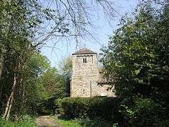 St Leonard's Church, Linley |
|
 Linley |
|
| OS grid reference | SO349928 |
|---|---|
| Civil parish | More |
| Unitary authority | Shropshire |
| Ceremonial county | Shropshire |
| Region | West Midlands |
| Country | England |
| Sovereign state | United Kingdom |
| Post town | BISHOPS CASTLE |
| Postcode district | SY9 |
| Dialling code | 01588 |
| Police | West Mercia |
| Fire | Shropshire |
| Ambulance | West Midlands |
| EU Parliament | West Midlands |
| UK Parliament | Ludlow |
|
|
Coordinates: 52°31′44″N 2°57′32″W / 52.529°N 2.959°W
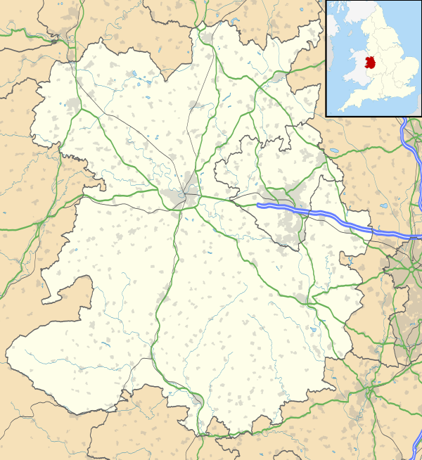
Linley is a hamlet in Shropshire, England. It is part of the civil parish of More.
The hamlet is located approximately 2 miles (3.2 km) east of the A488 road, and 2 miles north of the village of Lydham, and 3.5 miles north of Bishop's Castle. It is situated near the West Onny river and a local feature is Linley Hall.
Geology
It approximates to the southern extremity of the Pontesford-Linley geological fault, which trends approximately 11 miles (18 km) to Pontesford. On 2 April 1990, the Pontesford-Linley Fault registered an earthquake with a magnitude of 5.1 on the Richter scale, known as the Bishop's Castle earthquake.[1]
References
| Wikimedia Commons has media related to Linley, Shropshire. |
This article is issued from Wikipedia - version of the 11/5/2016. The text is available under the Creative Commons Attribution/Share Alike but additional terms may apply for the media files.