Lighthouse of Cabo de São Vicente
|
A view of the reinforced structure of the old convent and lighthouse of Cape St. Vicente | |
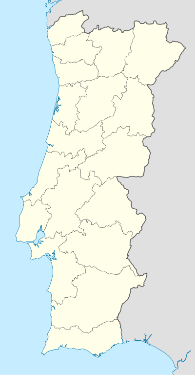 Lighthouse of Cabo de São Vicente Farol do Cabo de São Vicente Position of the lighthouse within continental Portugal | |
| Location |
|
|---|---|
| Coordinates | 37°1′23″N 8°59′46.1″W / 37.02306°N 8.996139°WCoordinates: 37°1′23″N 8°59′46.1″W / 37.02306°N 8.996139°W |
| Year first constructed | 1500 |
| Year first lit | 1846 |
| Automated | 1982 |
| Construction | Round cylindrical stone tower with lantern and gallery, rising from a 2- and 3-story keeper's complex |
| Height | 86 metres (282 ft) |
| Focal height | 28 metres (92 ft) |
| Original lens | Fresnel lens |
| Light source | mains power |
| Range | 32 nautical miles (59 km) |
| Characteristic | Fl W 5s |
| Admiralty number | D2168 |
| NGA number | 113-3616[1] |
| ARLHS number | POR-012 |
| Portugal number | PT-436 |
| Managing agent | Direcção de Faróis (Directorate for Lighthouses) |
| Heritage | Unclassified |

The Lighthouse of Cabo de São Vicente (Portuguese: Farol do Cabo de São Vicente) is beacon/lighthouse located along the coastal peninsula of Sagres Point in the civil parish of Sagres, in the Porutguese municipality of the Vila do Bispo. Not to be confused with the Lighthouse of Ponta de Sagres, which is the located further to the edge of the extreme southwest cape of the civil parish, southwest of the Fortress of Sagres.
History


A rudimentary lighthouse existed on the cape since 1520, in a special tower constructed on the site of the convent.[2] Between 1521 and 1557 a tower was ordered constructed by King D. John III to defend the coast from attacks from marauding soldiers. Yet, in 1587, the tower was destroyed by the English privateer Francis Drake, and only returned to operation in 1606, following its restoration by order of King Phillip II.
The lighthouse of Cape St. Vincente, or the Lighthouse of D. Fernando, was ordered constructed by Queen D. Maria II, and began operating in October 1846, in the 16th century Franciscan convent.[2] It was originally illuminated by olive oil lamp consisting of two clarions that rotated every two seconds, and a range of 6 nautical miles (11 km; 6.9 mi).
Following an initial period of operation, the lighthouse was abandoned and almost fell into ruin; a survey of the site indicated its deplorable state by 1865. Due to its state and poor performance of its light, work began on remodelling the structure began in 1897. The tower was increased 5.7 metres (19 ft), and its optic was substituted with a new mechanism.[2] Work on the site lasted 11 years, and in 1908 the lighthouse began operating with a 1,330-millimetre (52 in) Fresnel lens, making it one of the largest optics used in Portuguese lighthouses and one of the 10 largest in the world. It consisted of three 8-square-metre (86 sq ft) panels with 313 kilograms (690 lb) of mercury.[2] The original beacon installed had a constant five rotations, but was replaced by an incandescent gas lamp. Its rotation was maintained with a clockwork system, allowing it to have a periodicity of 15 seconds, and range of 33 miles (53 km).
In 1914, a signal horn was installed. In 1926, a generator was installed, permitting an easy transition from petrol to electricity.
Due to the necessities of the Second World War, in 1947 deflector panels were installed, allowing the lighthouse to function both for terrestrial and maritime navigation. The following year, it was finally connected to the public electrical grid.
In 1982 the lighthouse was automated and, at the same time, it began to control the neighbouring lighthouse in the adjacent cape, supporting a small staff on duty. Following the remodeling in 1990, the optic's rotation was automated 2001.[2]
Architecture
.jpg)
The lighthouse is situated on the tip of the Cape of St. Vincent, located 7 km (4.3 mi) from the western edge of the civil parish of Sagres, guarding one of the world's busiest shipping lanes. The traditional land's end of Europe, the extreme southwesternmost point on the continent, it was an essential landfall for sailors returning from Africa and the Americas. One of the most powerful lighthouses in Europe (the most powerful being Phare du Creach on the French island of Ushant, off the coast of Brittany); its two 1,000 W lamps can be seen as far as 60 km (37 mi) away.
The 28-metre (92 ft) round cylindrical stone tower, with lantern and gallery, rises from a 2-/3-story keeper's complex. The beacon itself has operated with a hyper-radiant Fresnel lens (larger than 1st order) since 1908, with a focal plane of 86 metres (282 ft) and demonstrating one quick white flash every 5 seconds. The unpainted lighthouse tower includes red-painted lantern and the keeper's white-painted house with red roof. A fog horn has given two 5-second blasts every 30 seconds.
Its position at land's end attracts visitors annually, and the Portuguese navy constructed a visitor center and museum on the site. The lighthouse and museum open are open to the public on Wednesday afternoons.
See also
| Wikimedia Commons has media related to Cabo de São Vicente Lighthouse. |
References
Notes
- ↑ "Cabo De Sao Vicente". NGA List of Lights. NGA-National Geospatial-Intelligence Agency. 26 September 2009. Retrieved 31 August 2010.
- 1 2 3 4 5 Neto, João; Xavier, António (1998), SIPA, ed., Fortaleza do Cabo de São Vicente/Convento do Corvo/Convento de São Vicente do Cabo/Farol de São Vicente (IPA.00002891/PT050815040005) (in Portuguese), Lisbon, Portugal: SIPA – Sistema de Informação para o Património Arquitectónico, retrieved 2 August 2016
Sources
- "O Aparelho Óptico do Farol do Cabo de S. Vicente", Revista da Armada (in Portuguese), Marinha de Guerra Portuguesa., 1 November 2002, retrieved 14 November 2009
- "Farol do Cabo de São Vicente", Revista da Armada (in Portuguese), Marinha de Guerra Portuguesa, 1 April 2004, retrieved 14 November 2009
- "Lista de Faróis (Continente)", Faróis de Portugal (in Portuguese), A.N.C.- Associação Nacional de Cruzeiros., 2 October 1997, retrieved 8 December 2013
- Alemida, João de (1948), Roteiro dos monumentos militares Portugueses (in Portuguese), III, Lisbon, Portugal
- Corrêa, Fernando C. Calapez (1994), A Cidade e o Termo de Lagos no Período dos reis Filipes (in Portuguese), Lagos, Portugal: Centro de Estudos Gil Eanes
- DGEMN, ed. (1960), "Monumentos de Sagres", Boletim da Direcção-Geral dos Edifícios e Monumentos Nacionais (in Portuguese) (100), Lisbon, Portugal
- Faro, João de (1721), Fragmento Académico. Notícias geraes e particulares da Província da Piedade. Da regular observancia de Nº P. S. Francisco, s. ed., s. l. (in Portuguese)
- Gomes, Mário Varela; Silva, Carlos Tavares da (1987), Delegação Regional do Sul da Secretaria de estado da Cultura, s. l., ed., Levantamento Arqueológico do Algarve - Concelho de Vila do Bispo (in Portuguese)
- Guerreiro, M.V.; Magalhães, J.R. (1983), Duas Descrições do Algarve do séc. XVI, Cadernos da Revista de História Económica e Social (in Portuguese) (3, Sá da Costa Editora), Lisbon, Portugal
- Monforte, Manuel de (1751), Officina de Miguel da Costa, ed., Chronica da Província da Piedade (in Portuguese) (2 ed.)
- Lopes, João Baptista da Silva (1841), Corografia...do reino do Algarve (in Portuguese), Lisbon, Portugal
- Xavier, António Mateus (1998), Das Cercas dos Conventos Capuchos (da Província da Piedade), contributo para a definição de uma política de recuperação, relatório de Trabalho de Fim de Curso na Licenciatura em Arquitectura Paisagista pela Universidade de Évora (in Portuguese)