Liben Zone
| Liben Zone Gobolka Liibaan | |
|---|---|
|
Map of Liben Zone | |
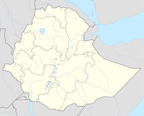 Liben Zone Location within Ethiopia | |
| Coordinates: 4°45′N 40°30′E / 4.750°N 40.500°E | |
| Country | Ethiopia |
| Region | Somali |
| Zone | Liben |
| Population (2007) | |
| • Total | 539,821 |
| Time zone | EAT (UTC+3) |

Liben (Somali: Liibaan) is one of the nine Zones of the Somali Region of Ethiopia. Liben is bordered on the south by Kenya, on the northwest by the Oromia Region, on the northeast by Afder, and on the southeast by Somalia. Towns in Liben include Sathe, Softu and Dolo.
The Liben Zone has numerous social and economic ties with Somalia and the adjacent Somali populated North Eastern Province of Kenya. The three largest clans in this Zone, the Marehan, Garre and the Degodia are all "trans-national", having clansmen living across international boundaries. For example, camels are raised in the Liban Zone, exported to Arabia through ports in southern Somalia, most importantly Mogadishu. On the other hand, cattle and small ruminants are taken across the border and traded in livestock markets located in Kenya, the most important of these being Mandera and the Kenya side of Moyale, although Doolow on the Somali side is also a locally important livestock market.[1]
Demographics
Based on the 2007 Census conducted by the Central Statistical Agency of Ethiopia (CSA), this Zone has a total population of 539,821, of whom 297,315 are men and 242,506 women. While 46,892 or 8.69% are urban inhabitants, a further 258,214 or 47.83% were pastoralists. The largest ethnic group reported in Afder was the Somalis (99.55%); all other ethnic groups made up 0.45% of the population. Somali language is spoken as a first language by 99.52%; the remaining 0.48% spoke all other primary languages reported. 98.57% of the population said they were Muslim.[2]
There are 5 refugee camps housing 174,463 refugees from Somalia, located in Liben Zone.[3]
The 1997 national census reported a total population for this Zone of 476,881 in 72,010 households, of whom 260,589 were men and 216,292 were women; 44,819 or 9.1% of its population were urban dwellers. The largest ethnic group reported in Liben was the Somali (99.04%); a slightly smaller share spoke Somali (97.78%). Only 12,085 or 7.72% were literate.[4]

According to a May 24, 2004 World Bank memorandum, 3% of the inhabitants of Liben have access to electricity, this Zone has a road density of 12.6 kilometers per 1000 square kilometers. 28.2% of the population is in non-farm related jobs, compared to the national average of 25% and an average of 28% for pastoral Regions. 23% of all eligible children are enrolled in primary school, and none in secondary schools.[5] 100% of the zone is exposed to malaria, and none to Tsetse fly. The memorandum gave this zone a drought risk rating of 571.[6]
Notes
- ↑ Socio-economic conditions of the population in Liben zone, Ethiopian Somali National Regional State UNDP Emergencies Unit for Ethiopia report, February 1996 (accessed 26 December 2008)
- ↑ Census 2007 Tables: Somali Region Archived November 14, 2012, at the Wayback Machine., Tables 2.1, 2.4, 3.1, 3.2 and 3.4.
- ↑ http://data.unhcr.org/horn-of-africa/region.php?id=7&country=65
- ↑ 1994 Population and Housing Census of Ethiopia: Results for Somali Region, Vol. 1 Archived November 19, 2008, at the Wayback Machine. Tables 2.1, 2.2, 2.13 (accessed 12 January 2009). The results of the 1994 census in the Somali Region were not satisfactory, so the census was repeated in 1997.
- ↑ Comparative national and regional figures comes from the World Bank publication, Klaus Deininger et al. "Tenure Security and Land Related Investment", WP-2991 (accessed 23 March 2006) This publication defines Benishangul-Gumaz, Afar and Somali as "pastoral Regions".
- ↑ World Bank, Four Ethiopias: A Regional Characterization (accessed 23 March 2006).
Coordinates: 4°45′N 40°30′E / 4.750°N 40.500°E
Zones of the Somali Region | ||
|---|---|---|