Li County, Sichuan
| Li County | |
|---|---|
| County | |
| Chinese transcription(s) | |
| • Simplified Chinese | 理县 |
| • Pinyin | Lǐ Xiàn |
.png) Li County in Ngawa, Sichuan | |
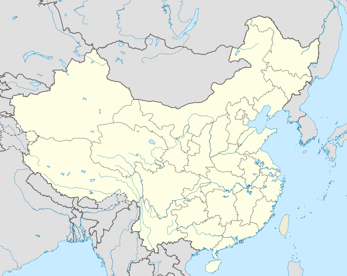 Li County Location in China | |
| Coordinates: 31°25′N 103°10′E / 31.417°N 103.167°ECoordinates: 31°25′N 103°10′E / 31.417°N 103.167°E | |
| Country | China |
| Province | Sichuan |
| Prefecture | Ngawa |
| Area | |
| • Total | 4,318 km2 (1,667 sq mi) |
| Population (1999) | |
| • Total | 42,494 |
| • Density | 9.8/km2 (25/sq mi) |
| • Major nationalities |
Tibetan - 47.99% Qiang - 31.95% Han - 19.49% |
| Time zone | China Standard (UTC+8) |
Li County or Lixian (Chinese 理县; pinyin: Lǐ Xiàn) is a county in Ngawa Tibetan and Qiang Autonomous Prefecture, Sichuan, China. China National Highway G317 and the Zagunao River run through the whole territory.[1]
On May 12, 2008, the area was affected by the 2008 Sichuan earthquake.
Transport
Geography
Li County is located from 30°54′43″N 102°32′46″E / 30.91194°N 102.54611°E (30.911944°, 102.546111°) to 31°12′12″N 103°30′30″E / 31.20333°N 103.50833°E (31.203333°, 103.508333°).[1]
Demographics
The county had a population of 42,494 in 1999.[2]
Notes
- 1 2 abazhou.gov.cn
- ↑ (English) National Population Statistics Materials by County and City - 1999 Period, in China County & City Population 1999, Harvard China Historical GIS
External links
- (Chinese) Government site - Google translation
- (Chinese) 理县 Li County ⊙雷康/编 - Google translation
This article is issued from Wikipedia - version of the 6/18/2014. The text is available under the Creative Commons Attribution/Share Alike but additional terms may apply for the media files.