Lawrencetown, Annapolis County
| Lawrencetown | |
|---|---|
| Village | |
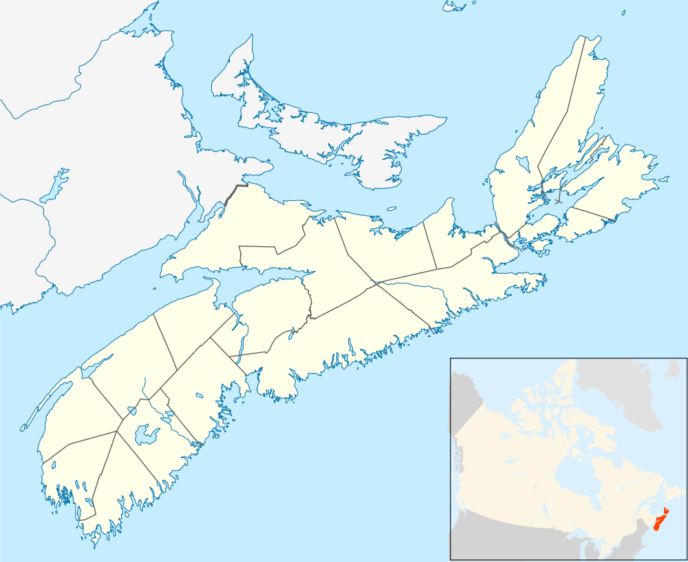 Lawrencetown Location of Lawrencetown, Nova Scotia | |
| Coordinates: 44°52′57″N 65°09′50″W / 44.88250°N 65.16389°WCoordinates: 44°52′57″N 65°09′50″W / 44.88250°N 65.16389°W | |
| Country |
|
| Province |
|
| Municipality | Annapolis County |
| Settled | 1760 |
| Government | |
| • Village Chair | Jaki Fraser |
| • Village Committee | Commissioners of Lawrencetown |
| Area | |
| • Total | 5.62 km2 (2.17 sq mi) |
| Population (2006) | |
| • Total | 668 |
| • Density | 118.9/km2 (308/sq mi) |
| Time zone | AST (UTC-4) |
| • Summer (DST) | ADT (UTC-3) |
| Postal code | B0S |
| Area code(s) | 902 |
| Telephone Exchange | 584 & 282 |
| NTS Map | 021A14 |
| GNBC Code | CATNX |
Lawrencetown is a village within Annapolis County in the Annapolis Valley of Nova Scotia, Canada. As of 2006, the population was 668. Every year at the Lawrencetown Exhibition Grounds, the Annapolis Valley Exhibition is held, which is typically a very large gathering. The town was first settled in 1760 and named after Nova Scotia governor Charles Lawrence.[1]
Lawrencetown is home to Lawrencetown Consolidated School and the Centre of Geographic Sciences (COGS), a branch of the Nova Scotia Community College.
In 2010, Lawrencetown was nominated as one of the top 12 towns for Kraft Hockeyville, representing eastern Canada in the wildcard category. On March 27, 2010, it was revealed on CBC Hockey Night In Canada that they were voted into the top five towns.
References
- ↑ Bernard, B., Bishop, G., Fowler, J., et al. "A history of Lawrencetown". (1977). Lawrencetown Consolidated.
External links
| Counties | |
|---|---|
| Economic Regions | |
| Regional municipalities | |
| Municipal districts | |
| Towns | |
| Incorporated villages | |
| Lists | |
| |