Latham Island
 Map of Latham Island | |
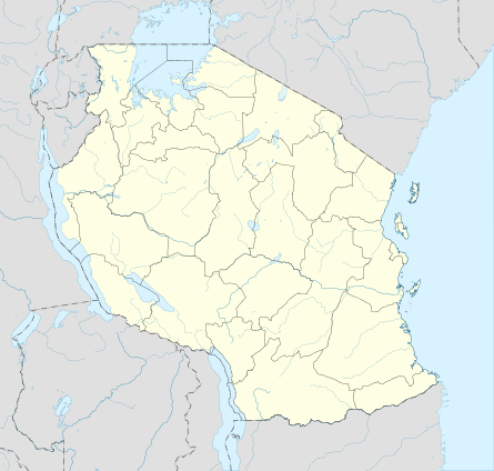 Latham Island Location in Tanzania | |
| Geography | |
|---|---|
| Coordinates | 6°54′S 39°56′E / 6.900°S 39.933°ECoordinates: 6°54′S 39°56′E / 6.900°S 39.933°E |
| Archipelago | Zanzibar Archipelago |
| Area | 0.03 km2 (0.012 sq mi) |
| Length | 0.3 km (0.19 mi) |
| Width | 0.1 km (0.06 mi) |
| Highest elevation | 4 m (13 ft) |
| Administration | |
| Region | Zanzibar |
| Demographics | |
| Population | Uninhabited |
Latham Island, known locally as Fungu Kizimkazi,Fungu Mbaraka is a small, relatively isolated island in the Zanzibar Archipelago, Tanzania which is historical under the Government of Zanzibar since 1898 .
History
The island has several local names in addition to Fungu Kizimkazi, the most Notable of which are Fungu la Mbarak after the Arab who had the right to collect wreckage there in the reign of seyid Barghash who was the (Sultan of Zanzibar),Shungu Mbili and Shan jove. The island was featured on an early sixteenth century Portugues Map (Ingrams,n.d) but it derives its present name from the East Indian man Latham which rediscovered it in 1758.[1]
Zanzibar Administration on the Island
The island was annexed to Zanzibar on 19 October 1898, British First Minister Sir Lloyd Mathews under the order of the Sultan of Zanzibar he visited the island and planted Zanzibar Flag on the Island and declared it official the island is under the administration of Zanzibar . Lloyd Mathews arrived on the island on 18 October 1898 with the warship HHS Barawa alongside Captain Arthur Agnew, Zanzibar Port Officer and Dr. Alfred Andrew Spurrier a Medical Officer.
Following the Plantation of Zanzibar Flag on 19 October 1898, 21-Gun salutes were performed as a military honor and the island was official annexed to Sultan's Authority.An Iron house was built and the corner stone was laid written “LATHAM ISLAND, FUNGU KIZIMKAZI UNDER ZANZIBAR SOVEREIGNTY”.
Geography
Latham Island is a flat coral island located 60 km (37 mi) south-east of Unguja and 66 km (41 mi) east of Dar es Salaam. It is roughly 300 metres (980 ft) long and 300 metres (980 ft) wide, and has an area of 0.03 square kilometres (0.01 sq mi). The island is surrounded by a fringing reef and is oceanic, as it lies off the continental shelf and is surrounded by deep water.[2][3]
Ecology
The island is an important breeding ground for various bird species, namely the masked booby, greater crested tern, sooty tern and the brown noddy. Latham is also thought to be of importance for nesting turtles.[4]
Dispute
Although the Island is under Zanzibar territorial water,controversy has emerged over the ownership of the Latham Island between Zanznibar and Tanzania Mainland,the Island is ruled by the United Republic of Tanzania and not under the Zanzibar jurisdiction.[5] Some members of the House of Representatives in Zanzibar and Opposition leaders have been complaining about ownership of the Blocks and Latham Island.[6]
References
- ↑ https://www.jstor.org/stable/1796284?seq=1#page_scan_tab_contents
- ↑ Mahongo, Shigalla. "The Tanzanian National Sea Level Report" (PDF). Retrieved 16 March 2014.
- ↑ "Bird Life International". Retrieved 16 March 2014.
- ↑ "Bird Life International". Retrieved 16 March 2014.
- ↑ http://www.spearblog.com/2011/10/21/dogtooth-world-record-denied/
- ↑ http://www.dailynews.co.tz/index.php/home-news/50728-who-owns-latham-island