Lantian County
"Lantian" redirects here. For other uses, see Lantian (disambiguation).
Not to be confused with Lam Tin.
| Lantian County 蓝田县 | |||||||||||||||||||||||||||||||||||
|---|---|---|---|---|---|---|---|---|---|---|---|---|---|---|---|---|---|---|---|---|---|---|---|---|---|---|---|---|---|---|---|---|---|---|---|
| County | |||||||||||||||||||||||||||||||||||
| Coordinates: 34°08′56″N 109°19′08″E / 34.149°N 109.319°ECoordinates: 34°08′56″N 109°19′08″E / 34.149°N 109.319°E[1] | |||||||||||||||||||||||||||||||||||
| Country | People's Republic of China | ||||||||||||||||||||||||||||||||||
| Province | Shaanxi | ||||||||||||||||||||||||||||||||||
| Prefecture-level city | Xi'an | ||||||||||||||||||||||||||||||||||
| Area | |||||||||||||||||||||||||||||||||||
| • Total | 2,005.95 km2 (774.50 sq mi) | ||||||||||||||||||||||||||||||||||
| Population (2010)[2] | |||||||||||||||||||||||||||||||||||
| • Total | 514,026 | ||||||||||||||||||||||||||||||||||
| • Density | 256.25/km2 (663.7/sq mi) | ||||||||||||||||||||||||||||||||||
| Time zone | China Standard (UTC+8) | ||||||||||||||||||||||||||||||||||
| Postal code | 7105XX | ||||||||||||||||||||||||||||||||||
| Xi'an district map |
| ||||||||||||||||||||||||||||||||||
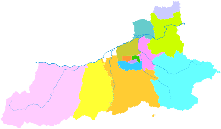
Lantian County (simplified Chinese: 蓝田县; traditional Chinese: 藍田縣; pinyin: Lántián Xiàn) is under the administration of Xi'an, the capital of Shaanxi province, China. It is the easternmost and second-most spacious (after Zhouzhi County) of the 13 county-level divisions of Xi'an. The county borders the prefecture-level cities of Weinan to the northeast and Shangluo to the southeast, Lintong District to the north, Chang'an District to the west, and Baqiao District to the northwest.
Transport
See also
References
- ↑ Google (2014-07-02). "Chang'an" (Map). Google Maps. Google. Retrieved 2014-07-02.
- ↑ "西安市2010年第六次全国人口普查主要数据公报" (in Chinese). Xi'an Evening News (西安晚报). 25 May 2011. Retrieved 3 July 2014.
External links
| Districts |  | |
|---|---|---|
| Counties | ||
| Landmarks | ||
| Culture | ||
| Education |
| |
| Transport | ||
This article is issued from Wikipedia - version of the 11/12/2016. The text is available under the Creative Commons Attribution/Share Alike but additional terms may apply for the media files.