Lang'ata
| Lang'ata Langata | |
|---|---|
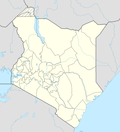 Lang'ata Location in Kenya | |
| Coordinates: 01°21′58″S 36°44′17″E / 1.36611°S 36.73806°E | |
| Country |
|
| County | Nairobi County |
| Time zone | EAT (UTC+3) |
Lang'ata is a suburb of Nairobi in Kenya. The suburb consists of many smaller housing developments, referred to as estates. They include Nairobi Dam, Otiende, Southlands, Ngei, Jambo estate, Onyonka, Madaraka Estate, Kutch Prant, Rubia and many others. These developments are primarily maisonettes or apartment blocks.
Location
Lang'ata lies southwest of the city's central business district, east of Karen, approximately 18 kilometres (11 mi), by road, from the centre of Nairobi.[1] The coordinates of Lang'ata are:1°21'58.0"S, 36°44'17.0"E (Latitude:-1.366111; Longitude:36.738056).[2]
Overview
Lang'ata has several attractions such as the Giraffe Centre,[3] the Uhuru (freedom) gardens, and a tourist village Bomas of Kenya. Lang'ata also has the Carnivore Restaurant and adjoining Carnivore grounds, where many concerts are hosted. Wilson Airport, the largest private airport in Kenya, can also be found in Lang'ata. Lang'ata also has a gate to the Nairobi National Park.
Lang'ata is also name of the Langata Constituency, which covers affluent estates Karen and Lang'ata, but numerically most its voters come from Kibera, the largest slum in Kenya. Langata Constituency has now been subdivided to two Constituencies i.e. Langata and Kibra Constituencies. The current MP of Lang'ata is Joshua Olum. The coined term Karengata is used refer to either Karen or Lang'ata.
Education
- The Nairobi Japanese School is located in the Lang'ata area.[4]
- The main campus of Catholic University of Eastern Africa is located in Langata.[5]
- The area is home to several primary and secondary schools
References
- ↑ "Travel Distance Between Nairobi Central Business District And Lang'ata With Map". Globefeed.com. Retrieved 3 February 2015.
- ↑ Google, . "Location of Lang'ata At Google Maps". Google Maps. Retrieved 3 February 2015.
- ↑ BB, . (10 July 2014). "Fantastic Photos of The Giraffe Centre In Langata, Kenya". Boomsbeat.com (BB). Retrieved 3 February 2015.
- ↑ "NAIROBI JAPANESE SCHOOL." (map to the Nairobi Japanese School) (Archive) Rosslyn Academy. Retrieved on 27 August 2013.
- ↑ Google, . "Location of the Main Campus of Catholic University of Eastern Africa At Google Maps". Google Maps. Retrieved 3 February 2015.
Further reading
- De Lame, Danielle. "Grey Nairobi: Sketches of Urban Socialities." In: Charton-Bigot, Hélène and Deyssi Rodriguez-Torres (editors). Nairobi Today: The Paradox of a Fragmented City. African Books Collective, 2010. p. 167-214. ISBN 9987080936, 9789987080939. The source edition is an English translation, published by Mkuki na Nyota Publishers Ltd. of Dar es Salaam, Tanzania in association with the French Institute for Research in Africa (IFRA) The book was originally published in French as Nairobi contemporain: Les paradoxes d'une ville fragmentée, Karthala Editions (Hommes et sociétés, ISSN 0993-4294). French version article: "Gris Nairobi: Esquisses de sociabilités urbaines." p. 221-284. ISBN 2845867875, 9782845867871.
- Includes a section on Karen and Langata, titled "Karen and Langata: Gardens and Suburbs", p. 174-179 (In French: "Karen et Langata, jardins et faubourgs", p. 231-237).
External links
| Neighbourhoods | ||
|---|---|---|
| County Divisions | ||
Coordinates: 01°21′58″S 36°44′17″E / 1.36611°S 36.73806°E