Lala, Assam
| Lala লালা | |
|---|---|
| city | |
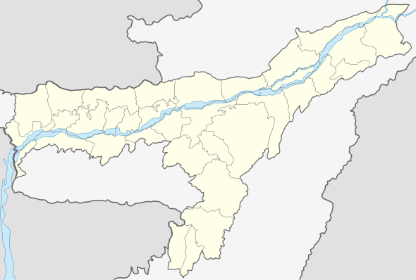 Lala  Lala Location in Assam, India | |
| Coordinates: 24°33′N 92°36′E / 24.55°N 92.6°ECoordinates: 24°33′N 92°36′E / 24.55°N 92.6°E | |
| Country |
|
| State | Assam |
| District | Hailakandi |
| Government | |
| • Type | Elected |
| • Body | Lala Town Committee |
| Elevation | 21 m (69 ft) |
| Population (2001) | |
| • Total | 10,345 |
| Languages | |
| • Official | Bengali |
| Time zone | IST (UTC+5:30) |
| ISO 3166 code | IN-AS |
| Vehicle registration | AS 24 |
For other uses, see Lala (disambiguation).
Lala is a town and a town area committee in Hailakandi district in the Indian state of Assam.
Geography
Lala is located at 24°33′N 92°36′E / 24.55°N 92.6°E.[1] It has an average elevation of 21 metres (69 feet).
Demographics
As of 2001 India census,[2] Lala had a population of 10,345. Males constitute 50% of the population and females 50%. Lala has an average literacy rate of 81%, higher than the national average of 59.5%: male literacy is 84%, and female literacy is 78%. In Lala, 11% of the population is under 6 years of age.
References
- ↑ Falling Rain Genomics, Inc - Lala
- ↑ "Census of India 2001: Data from the 2001 Census, including cities, villages and towns (Provisional)". Census Commission of India. Archived from the original on 2004-06-16. Retrieved 2008-11-01.
This article is issued from Wikipedia - version of the 12/1/2016. The text is available under the Creative Commons Attribution/Share Alike but additional terms may apply for the media files.