La Victoria Airport
| La Victoria Airport Puerto La Victoria Airport | |||||||||||
|---|---|---|---|---|---|---|---|---|---|---|---|
| IATA: none – ICAO: SGLV | |||||||||||
| Summary | |||||||||||
| Airport type | Public | ||||||||||
| Serves | La Victoria | ||||||||||
| Elevation AMSL | 286 ft / 87 m | ||||||||||
| Coordinates | 22°17′45″S 57°52′00″W / 22.29583°S 57.86667°WCoordinates: 22°17′45″S 57°52′00″W / 22.29583°S 57.86667°W | ||||||||||
| Map | |||||||||||
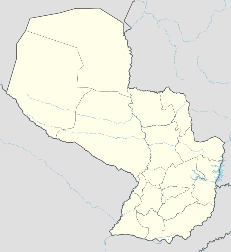 SGLV Location of the airport in Paraguay | |||||||||||
| Runways | |||||||||||
| |||||||||||
|
Sources: Google Maps[1] | |||||||||||
La Victoria Airport (IATA: VMI) is an airstrip near the town of La Victoria in Alto Paraguay Department, Paraguay. The grass runway is 8 kilometres (5.0 mi) east of La Victoria, across the Paraguay River.
Aerial imagery from 2005 shows low brush covering the length of the runway.[2]
See also
 Paraguay portal
 Aviation portal
- List of airports in Paraguay
- Transport in Paraguay
References
External links
- HERE Maps - Puerto La Victoria
- OpenStreetMaps - Puerto La Victoria
- OurAirports - Puerto La Victoria
- Puerto La Victoria
This article is issued from Wikipedia - version of the 4/24/2016. The text is available under the Creative Commons Attribution/Share Alike but additional terms may apply for the media files.