La Orchila Airport
| La Orchila Airport | |||||||||||
|---|---|---|---|---|---|---|---|---|---|---|---|
| IATA: none – ICAO: SVLO | |||||||||||
| Summary | |||||||||||
| Airport type | Public | ||||||||||
| Serves | La Orchila | ||||||||||
| Elevation AMSL | 5 ft / 2 m | ||||||||||
| Coordinates | 11°48′30″N 66°10′48″W / 11.80833°N 66.18000°WCoordinates: 11°48′30″N 66°10′48″W / 11.80833°N 66.18000°W | ||||||||||
| Map | |||||||||||
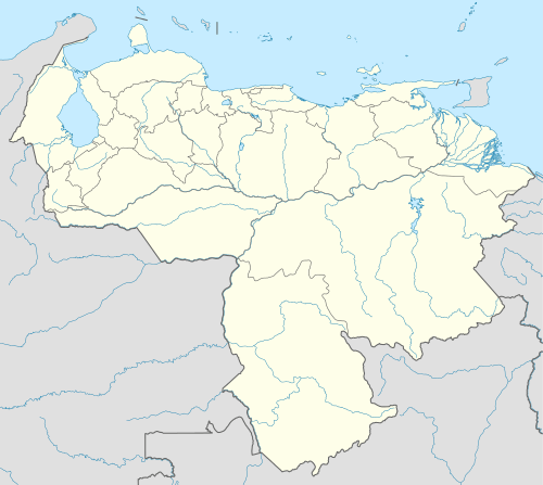
 SVLO Location of the airport in Venezuela | |||||||||||
| Runways | |||||||||||
| |||||||||||
La Orchila Airport (ICAO: SVLO) is an airport serving the island of La Orchila in the Caribbean Sea 130 kilometres (81 mi) north of the Venezuelan coast. La Orchila is in the Federal Dependencies of Venezuela.
The La Orchila VOR-DME (Ident: LOR) is located on the field.[3]
See also
 Venezuela portal
 Aviation portal
- Transport in Venezuela
- List of airports in Venezuela
References
- ↑ Airport information for SVLO at Great Circle Mapper.
- ↑ Google Maps - La Orchila
- ↑ SkyVector Aeronautical Charts
External links
- OpenStreetMaps - La Orchila
- OurAirports - La Orchila
- SkyVector - La Orchila Isla Airport
- HERE/Nokia - La Orchila Island
This article is issued from Wikipedia - version of the 11/9/2016. The text is available under the Creative Commons Attribution/Share Alike but additional terms may apply for the media files.