Kya Sand
- For the informal settlement in Johannesburg, see Kya Sands
| Kya Sand | |
|---|---|
 Kya Sand  Kya Sand  Kya Sand
| |
|
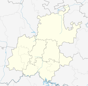
Location within Greater Johannesburg 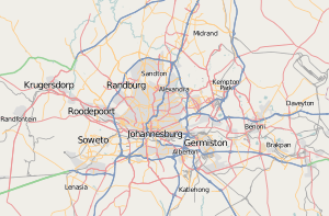 Kya Sand | |
| Coordinates: 26°01′26″S 27°56′46″E / 26.024°S 27.946°ECoordinates: 26°01′26″S 27°56′46″E / 26.024°S 27.946°E | |
| Country | South Africa |
| Province | Gauteng |
| Municipality | City of Johannesburg |
| Main Place | Randburg |
| Area[1] | |
| • Total | 2.81 km2 (1.08 sq mi) |
| Population (2011)[1] | |
| • Total | 3,306 |
| • Density | 1,200/km2 (3,000/sq mi) |
| Racial makeup (2011)[1] | |
| • Black African | 98.3% |
| • Coloured | 0.1% |
| • Indian/Asian | 0.2% |
| • White | 1.4% |
| First languages (2011)[1] | |
| • Northern Sotho | 22.7% |
| • Zulu | 13.9% |
| • Tsonga | 12.0% |
| • Venda | 10.5% |
| • Other | 40.8% |
| Postal code (street) | 2169 |
| PO box | 2163 |
Kya Sand is an industrial suburb of Johannesburg, South Africa. It is located in Region A of the City.[2] The suburb is bordered to the east by Kya Sands Informal Settlement.[3]
References
- 1 2 3 4 "Sub Place Kya Sand". Census 2011.
- ↑ "Suburbs in Region A". City of Johannesburg Website. City of Johannesburg.
- ↑ http://sainformalsettlement.com/index.php?title=Kya_Sands_Informal_Settlement
This article is issued from Wikipedia - version of the 6/14/2016. The text is available under the Creative Commons Attribution/Share Alike but additional terms may apply for the media files.