Kuriyama Dam (Tochigi)
For the dam in Hokkaido, see Kuriyama Dam.
| Kuriyama Dam | |
|---|---|
 | |
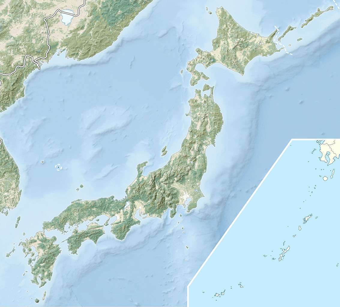 Location of Kuriyama Dam in Japan | |
| Country | Japan |
| Location | Nikkō, Tochigi Prefecture |
| Coordinates | 36°51′08″N 139°39′10″E / 36.85222°N 139.65278°ECoordinates: 36°51′08″N 139°39′10″E / 36.85222°N 139.65278°E |
| Status | Operational |
| Construction began | 1981 |
| Opening date | 1985 |
| Owner(s) | TEPCO |
| Dam and spillways | |
| Type of dam | Embankment, rock-fill |
| Height | 97.5 m (320 ft) |
| Length | 340 m (1,115 ft) |
| Dam volume | 2,517,000 m3 (3,292,112 cu yd) |
| Reservoir | |
| Total capacity | 6,890,000 m3 (5,586 acre·ft) |
| Active capacity | 6,200,000 m3 (5,026 acre·ft) |
| Catchment area | 900 m2 (0 acres) |
| Surface area | 320 m2 (0 acres) |
| Normal elevation | 1,090 m (3,576 ft) |
The Kuriyama Dam is a rock-fill embankment dam on a tributary of the Togawa River located 6.4 km (4 mi) northwest of Nikkō in Tochigi Prefecture, Japan. It was constructed between 1981 and 1985. Its reservoir serves as the upper reservoir for the 1,050 MW Imaichi Pumped Storage Power Station, while the Imaichi Dam forms the lower. The dam is 97.5 m (320 ft) tall and withholds a reservoir with a storage capacity of 6,890,000 m3 (5,586 acre·ft). Of that capacity, 6,200,000 m3 (5,026 acre·ft) is used to produce electricity at the power plant. It is owned and operated by TEPCO.[1][2]
References
- ↑ "Tokyo Electric Power Station Imaichi" (in Japanese). Suiryoku.com. Retrieved 19 January 2012.
- ↑ Engineers, prepared by Task Committee on Pumped Storage of the Committee on Hydropower of the Energy Division of the American Society of Civil (1996). Hydroelectric pumped storage technology : international experience. New York, NY: American Soc. of Civil Engineers. pp. 2.2 1–5. ISBN 0-7844-0144-6.
This article is issued from Wikipedia - version of the 10/30/2016. The text is available under the Creative Commons Attribution/Share Alike but additional terms may apply for the media files.