Krndija
This article is about the mountain. For the village, see Krndija (village).
| Krndija | |
|---|---|
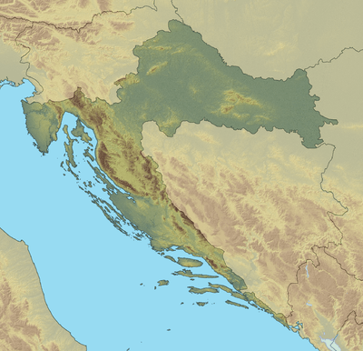 Krndija Location of Krndija in Croatia | |
| Highest point | |
| Elevation | 792 m (2,598 ft) [1] |
| Coordinates | 45°27′N 17°55′E / 45.450°N 17.917°ECoordinates: 45°27′N 17°55′E / 45.450°N 17.917°E |
| Geography | |
| Location | Croatia |
Krndija is a mountain in Slavonia, Croatia, extending eastwards from Papuk. It is located south of Orahovica and Našice and north of Požega.
The westernmost point of Krndija is the mountain pass that connects Orahovica with Kutjevo; the easternmost point is hard to determine, as it gradually passes into the lowland area near Đakovo and further east near Vinkovci.
The highest peak Kapovac is located in the western part of Krndija, at 792 metres (2,598 ft).[1] The peak of the central part of Krndija is at 263 meters of altitude.
References
- 1 2 Ostroški, Ljiljana, ed. (December 2015). Statistički ljetopis Republike Hrvatske 2015 [Statistical Yearbook of the Republic of Croatia 2015] (PDF). Statistical Yearbook of the Republic of Croatia (in Croatian and English). 47. Zagreb: Croatian Bureau of Statistics. p. 48. ISSN 1333-3305. Retrieved 27 December 2015.
This article is issued from Wikipedia - version of the 1/16/2016. The text is available under the Creative Commons Attribution/Share Alike but additional terms may apply for the media files.