Kow Swamp
| Kow Swamp | |
|---|---|
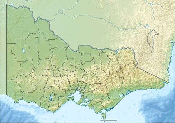 Kow Swamp Location in Victoria | |
| Location | Mallee, Victoria |
| Coordinates | 35°57′34″S 144°17′44″E / 35.95944°S 144.29556°ECoordinates: 35°57′34″S 144°17′44″E / 35.95944°S 144.29556°E[1] |
| Type | Freshwater / Swamp / Wetland |
| Basin countries | Australia |
| Max. length | 7 km (4.3 mi) |
| Max. width | 4 km (2.5 mi) |
| Surface area | 24 km2 (9.3 sq mi) |
| Average depth | 3 m (9.8 ft) |
| Water volume | 51,730 ML (1.138×10¹⁰ imp gal; 1.367×10¹⁰ US gal) |
| Surface elevation | 85 m (279 ft) |
The Kow Swamp, a freshwater lake and wetland, was formerly a swamp, that is now used for water storage. The lake is located in the Mallee region in north-central Victoria, Australia.
Description
Kow Swamp lies in the Murray River valley, about 4.5 kilometres (2.8 mi) west of the town of Gunbower and the Murray River, in the Shire of Campaspe. Its name comes from the Aboriginal word Ghow which refers to the white gypsum soil found at the swamp. It is a popular site for recreational fishing. Approximately 7 kilometres (4.3 mi) in length and 4 kilometres (2.5 mi) in width, the lake has a circumference of 15 kilometres (9.3 mi).[2]
History
In the late 19th century Kow Swamp was managed by local irrigation trusts for off-river storage. In 1900 the capacity was increased to 51,730 megalitres (1.138×10¹⁰ imp gal; 1.367×10¹⁰ US gal).[2]
Archaeology
Kow Swamp is an archaeological site which has produced human skeletal remains dating from the late Pleistocene, over 10,000 years ago.[2]
References
- ↑ "Kow Swamp". Vicnames. Government of Victoria. 2 May 1966. Retrieved 4 June 2014.
- 1 2 3 "Kow Swamp". Goulburn-Murray Water. Retrieved 2012-03-04.
| |||||||||||||||||||||||||||||
| |||||||||||||||||||||||||||||
| |||||||||||||||||||||||||||||