Kota Tanjungbalai
| Tanjungbalai Tanjungbalai-Asahan | |
|---|---|
| City | |
| Other transcription(s) | |
| • Jawi | تنجوڠ بالاي |
| • Chinese | 丹戎巴来 |
|
An monument in Tanjungbalai | |
| Nickname(s): bayada | |
 Location of Tanjungbalai in Indonesia | |
 Tanjungbalai Location of Tanjungbalai in Indonesia | |
| Coordinates: 2°58′12″N 99°48′0″E / 2.97000°N 99.80000°ECoordinates: 2°58′12″N 99°48′0″E / 2.97000°N 99.80000°E | |
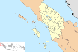
| Province | North Sumatra |
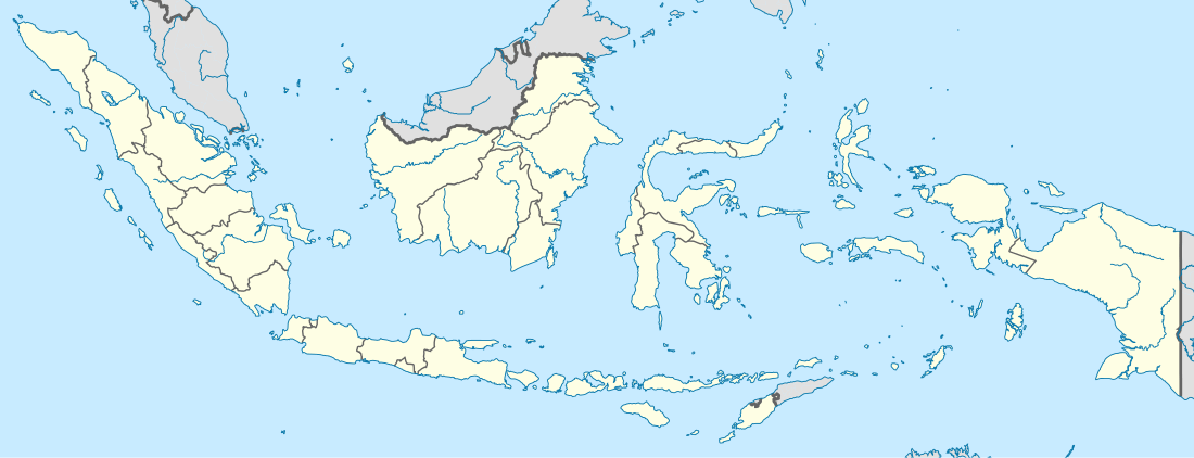
| Country | Indonesia |
| Area | |
| • Total | 60.52 km2 (23.37 sq mi) |
| Population (2010 Census) | |
| • Total | 154,426 |
| • Density | 2,662/km2 (6,890/sq mi) |
| Time zone | WIB (UTC+7) |

- See Tanjungbalai (disambiguation) for the other meanings.

Tanjungbalai (Indonesian: Kota Tanjungbalai, Jawi: تنجوڠ بالاي, Chinese: 丹戎巴来; pinyin: Dān róng bā lái), formerly Tanjungbalai-Asahan is a city in North Sumatra province, Indonesia, on the estuary of the Asahan River. It has an area of 58 square kilometres (22 sq mi) and the 5th largest kota population in North Sumatra with 154,426 inhabitants in the 2010 census.[1] The town has a ferry terminal with services to Port Klang, Malaysia, and the city-island of Singapore, but no visa on arrival processing services. It was formerly a district of Asahan Regency until it was elevated to city status, but the tag "Asahan" is still used to distinguish it from the port of the same name on Great Karimun island.
Administrative divisions
The city is divided administratively into six districts (kecamatan), tabulated below with their 2010 Census population:[2]
| Name | Population Census 2010[2] |
|---|---|
| Datuk Bandar | 33,797 |
| Datuk Bandar Timur (East Datuk Bandar) | 26,942 |
| Tanjungbalai Selatan (South Tanjungbalai) | 19,330 |
| Tanjungbalai Utara (North Tanjungbalai) | 15,862 |
| Sei Tualang Raso | 22,712 |
| Teluk Nibung | 35,802 |
References
- ↑ http://hariansib.com/?p=136255
- 1 2 Biro Pusat Statistik, Jakarta, 2011.