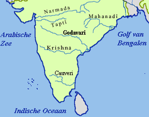
Kolar River (Maharashtra)
The Kolar River (Kolhar River) is a river of Nagpur district, Maharashtra, India, flowing southeast from above the town of Saoner to its juncture with the Kanhan River. It is in the Godavari river basin. The Kolar River forms the boundary between Saoner taluka and Ramtek taluka.[1]
Origin and course
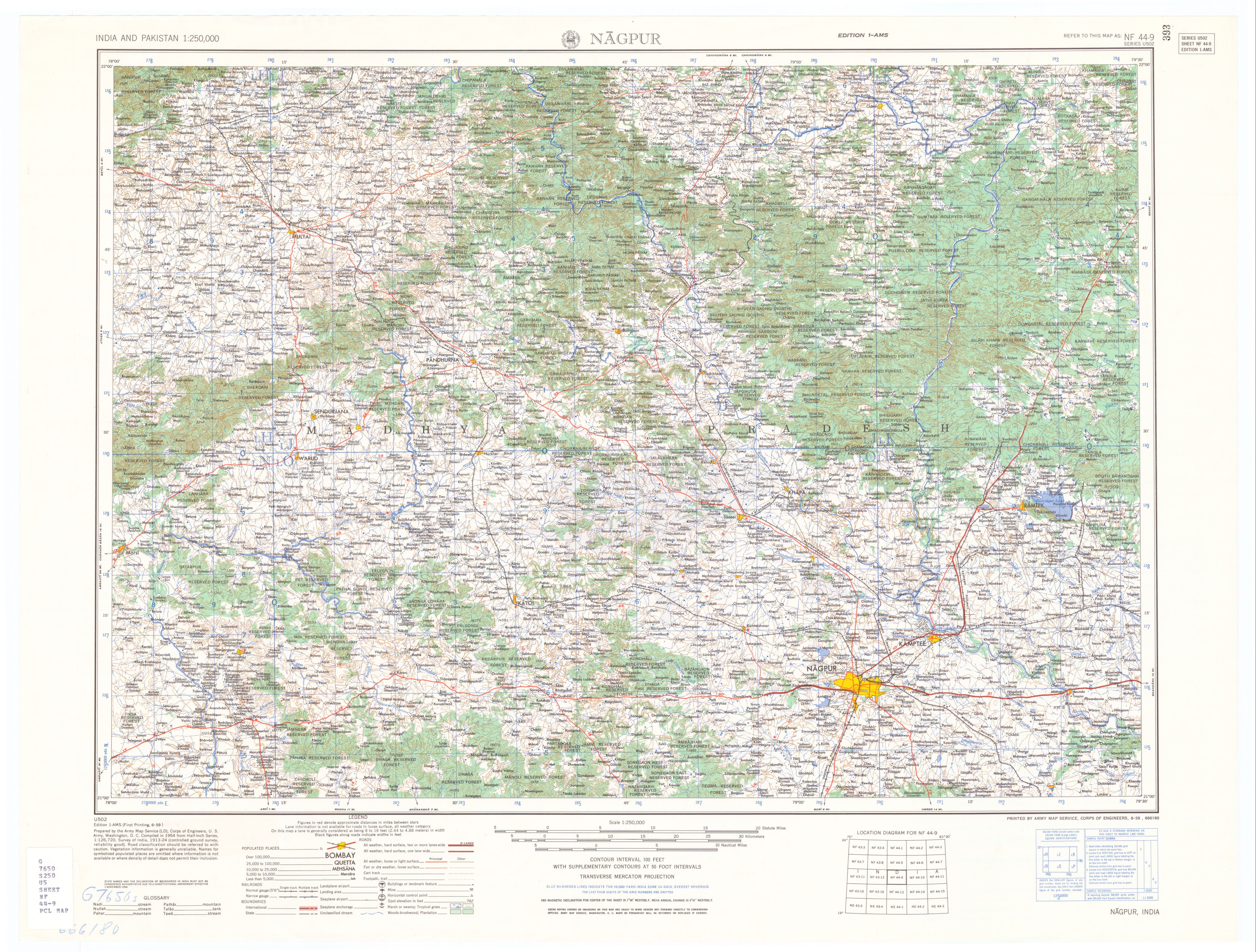
The Kolar arises near the Madhya Pradesh border in the Chorkhairi West Reserved Forest in the north-east corner of the Katol taluka[1] at an elevation of approximately 600 meters, 21°28′01″N 78°39′52″E / 21.46694°N 78.66444°E. It flows southeast for about ten kilometers passing through the Pilkapar range[1] and then past the village of Pipla on its right. The river then turns east for four kilometers toward the village of Tidangi, where it enters the Kolar Dam Reservoir. Past the Kolar Dam it continues east for about four kilometers before turning southeast again just before the village of Hetisurla. Another seven kilometers brings the Kolar River to the center of the town of Saoner (Savner). It continues southeast past the town of Patansavangi, and receives it major tributary, the Chandrabhaga Nadi, from the right (west) at 21°19′24″N 79°01′11″E / 21.32333°N 79.01972°E. Continuing southeast it enters the Kanhan River from the right at the village of Tola,[2] 21°14′58″N 79°09′29″E / 21.24944°N 79.15806°ECoordinates: 21°14′58″N 79°09′29″E / 21.24944°N 79.15806°E, just above the town of Kamptee.[3] The entire course of the river is in Nagpur district.
Notes
- 1 2 3 Census of India, 1981: Maharashtra - Volume 17. Director of Census Operations, Maharashtra. 1986. p. 8.
- ↑ Khatry, Rajendra (20 September 1999). "A village lives in terror as water continues to rise". Indian Express.
- ↑ Nagpur (topographic map, 1:250,000), series U502, sheet NF 44-09, United States Army Map Service, June 1959
| Rivers |
|    | |||||||||||||||||||||||||
|---|---|---|---|---|---|---|---|---|---|---|---|---|---|---|---|---|---|---|---|---|---|---|---|---|---|---|---|
| Dams, barrages | |||||||||||||||||||||||||||
| Geographical features / regions | |||||||||||||||||||||||||||
| Riparian districts |
| ||||||||||||||||||||||||||
| Cities | |||||||||||||||||||||||||||
| Languages / people | |||||||||||||||||||||||||||
| Coalfields | |||||||||||||||||||||||||||
| Oil / gas fields | |||||||||||||||||||||||||||
| Industries |
| ||||||||||||||||||||||||||
| Transport | |||||||||||||||||||||||||||
| Related topics | |||||||||||||||||||||||||||
| Other basins | |||||||||||||||||||||||||||