Knutton

Knutton
Knutton
 Knutton shown within Staffordshire
OS grid referenceSJ835468
DistrictNewcastle-under-Lyme
Shire countyStaffordshire
RegionWest Midlands
CountryEngland
Sovereign stateUnited Kingdom
Post town NEWCASTLE-UNDER-LYME
Postcode district ST5
Dialling code 01782
Police Staffordshire
Fire Staffordshire
Ambulance West Midlands
EU Parliament West Midlands
UK ParliamentNewcastle-under-Lyme
List of places
UK
England
Staffordshire

Coordinates: 53°01′06″N 2°14′50″W / 53.0183°N 2.2472°W / 53.0183; -2.2472

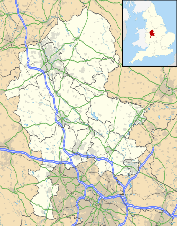
Knutton is a village in the Borough of Newcastle-under-Lyme, Staffordshire, England.[1] It lies between the town of Newcastle-under-Lyme, and the village of Silverdale.

References

  1. Ordnance Survey: Landranger map sheet 118 Stoke-on-Trent & Macclesfield (Map). Ordnance Survey. 2012. ISBN 9780319229064.
This article is issued from Wikipedia - version of the 5/24/2016. The text is available under the Creative Commons Attribution/Share Alike but additional terms may apply for the media files.