Klusenberg
| Klusenberg | |
|---|---|
 Klusenberg | |
| Highest point | |
| Elevation | 254.33 m above sea level (NHN) (834.4 ft) |
| Coordinates | 51°25′20″N 7°28′15″E / 51.42222°N 7.47083°ECoordinates: 51°25′20″N 7°28′15″E / 51.42222°N 7.47083°E |
| Geography | |
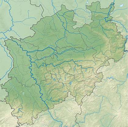
| Location | North Rhine-Westphalia, Germany |
| Parent range | Ardey Hills |
The Klusenberg is, at 254.33 m above NHN, the highest elevation on the territory of the city of Dortmund.
The Klusenberg part of the Ardey Hills lies west of the Hohensyburg. To the south its slopes fall away into the Hengsteysee lake. The Klusenberg is wooded with just a few residential houses.
References
This article is issued from Wikipedia - version of the 2/16/2016. The text is available under the Creative Commons Attribution/Share Alike but additional terms may apply for the media files.