Klintzkopf
| Klintzkopf | |
|---|---|
 The Klintzkopf seen from the Heidenfelsen | |
| Highest point | |
| Elevation | 1,330 m (4,360 ft) [1] |
| Coordinates | 47°56′58″N 7°03′22″E / 47.94944°N 7.05611°ECoordinates: 47°56′58″N 7°03′22″E / 47.94944°N 7.05611°E |
| Geography | |
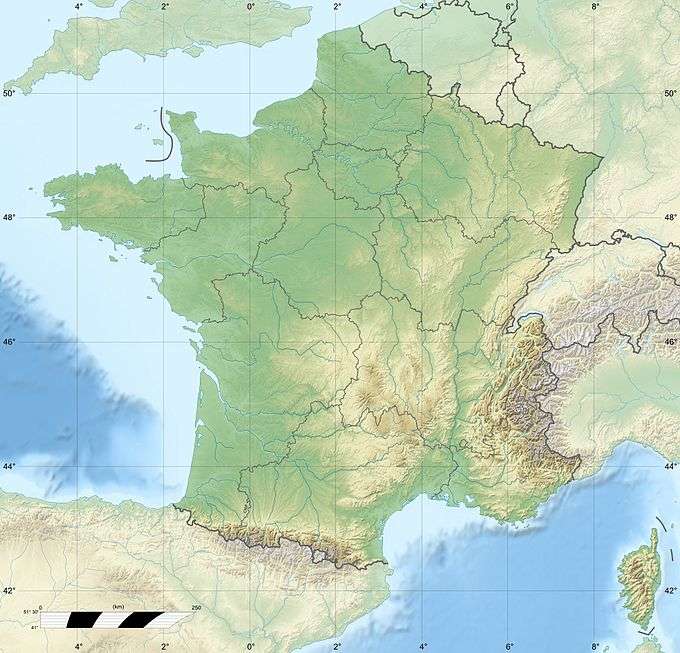 Klintzkopf France | |
| Location | Alsace, France |
| Parent range | Vosges Mountains |
The Klintzkopf is the fifth highest summit of the Vosges Mountains. It is located in the French region of Alsace.
Geography

Panoramic view from the summit
The mountain is divided between the French municipalities of Guebwiller and Munster (department of Haut-Rhin, Alsace).[1]
The Klintzkopf is part of a nature reserve and it only can be accessed from July to November. It hosts the highest beech forest of the Vosges mountains.[2]
Access to the summit
The summit of the Klintzkopf can be accessed on foot from the nearby Route des Crêtes. It offers a good point of view of the southern part of the Vosges Mountains.
See also
References
- 1 2 IGN maps available on Géoportail
- ↑ Hautes-Vosges: Klintzkopf (alt. 1330 m), www.vosges-palatinat.com (accessed on December 28th 2014)
This article is issued from Wikipedia - version of the 5/19/2016. The text is available under the Creative Commons Attribution/Share Alike but additional terms may apply for the media files.