Kjeungskjær Lighthouse
 View of the lighthouse | |
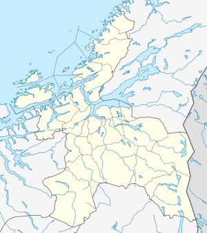 Sør-Trøndelag | |
| Location |
Ørland Sør-Trøndelag Norway |
|---|---|
| Coordinates | 63°43′36.2″N 09°31′51.3″E / 63.726722°N 9.530917°ECoordinates: 63°43′36.2″N 09°31′51.3″E / 63.726722°N 9.530917°E |
| Year first constructed | 1880 |
| Automated | 1987 |
| Foundation | stone basement |
| Construction | stone tower |
| Tower shape | octagonal prism tower with balcony and lantern incorporating keeper's quarter |
| Markings / pattern | red lighthouse |
| Height | 20.6 metres (68 ft) |
| Focal height | 17.5 metres (57 ft) |
| Intensity | 14,400 candela |
| Range | 9.9 nmi (18.3 km; 11.4 mi) |
| Characteristic | Oc WRG 6s. |
| Admiralty number | L1560 |
| NGA number | 8200 |
| ARLHS number | NOR-137 |
| Norway number | NF-4729[1] |
The Kjeungskjær lighthouse (Norwegian: Kjeungskjær fyr) is a lighthouse in the municipality of Ørland in Sør-Trøndelag county, Norway. The lighthouse is located on a tiny island at the mouth of the Bjugnfjorden about 3.5 kilometres (2.2 mi) west of the village of Uthaug and 5 kilometres (3.1 mi) south of the village of Nes in Bjugn.
It was built in 1880 and automated in 1987. Prior to being automated, the operators lived on the lower floors of the building.
The lighthouse is lit from July 21 until May 16 every year. It is not lit during the late spring and early summer due to the midnight sun. The red lighthouse is an octagonal-shaped building that is 20.6 metres (68 ft) tall.[2][3]
See also
References
- ↑ Kjeungskjær Lighthouse The Lighthouse Directory. University of North Carolina at Chapel Hill. Retrieved March 6, 2016
- ↑ Kystverket (2008). Norske Fyrliste 2008 (PDF) (in Norwegian). ISBN 978-82-450-0628-5.
- ↑ Store norske leksikon. "Kjeungskjær fyr" (in Norwegian). Retrieved 2011-01-12.
External links
- Norsk Fyrhistorisk Forening (Norwegian)
- Video of Kjeungskjær fyr
| Wikimedia Commons has media related to Kjeungskjær fyr. |
This article is issued from Wikipedia - version of the 3/8/2016. The text is available under the Creative Commons Attribution/Share Alike but additional terms may apply for the media files.