Kitisuru
| Kitisuru | |
|---|---|
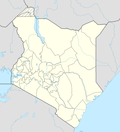 Kitisuru Location in Kenya | |
| Coordinates: 01°12′24″S 36°46′08″E / 1.20667°S 36.76889°E | |
| Country |
|
| District | Nairobi |
| Elevation | 5,600 ft (1,700 m) |
Kitisuru is a suburb of Nairobi, the capital city and largest metropolitan area in Kenya. The name Kitisuru comes from a nearby river "Getathuru" which was borrowed from the original inhabitants of the area who were mainly of the Kikuyu dialect. Kitisuru Ward is located in Westlands Constituency within Nairobi County.
Location
Kitisuru is located approximately 9.5 kilometres (5.9 mi), by road, northwest of the central business district of Nairobi.[1] The coordinates of Kitisuru are:01 12 24S, 36 46 08E (Latitude:-1.2400; Longitude:36.7688).
Overview
Kitisuru is an upscale residential suburb of Nairobi. There are several residential neighbourhoods with schools and places of worship.
Population
The exact population of Kitisuru is not publicly known as of November 2010. Loresho, Kyuna and Lower Kabete Sub–locations form part of the greater location. Some roads that pass via Kitisuru area include Lower Kabete Road, Kyuna Road and Ngecha Road.
See also
References
- http://ke.geoview.info/ngecha_road,24025185w
- http://westlandsconstituency.co.ke/index.php/2013-06-30-18-04-13/about-westlands
External links
| Neighbourhoods | ||
|---|---|---|
| County Divisions | ||
Coordinates: 01°12′24″S 36°46′08″E / 1.20667°S 36.76889°E