Kisite-Mpunguti Marine National Park
| Kisite-Mpunguti Marine National Park | |
|---|---|
|
IUCN category II (national park) | |
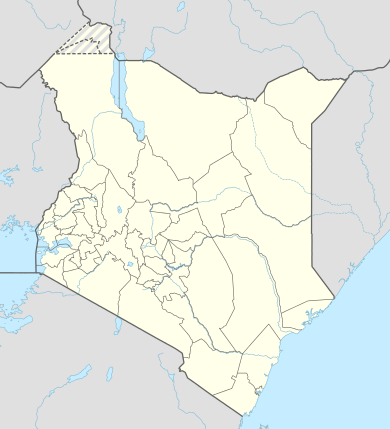 Location of Kisite-Mpunguti Marine National Park | |
| Location |
Coast Province, |
| Nearest city | Mombasa |
| Coordinates | 04°42′50″S 39°21′44″E / 4.71389°S 39.36222°ECoordinates: 04°42′50″S 39°21′44″E / 4.71389°S 39.36222°E |
| Area |
Total: 39 km2 (15 sq mi)[1]
|
| Established | 1973 |
| Governing body | Kenya Wildlife Service |
Kisite-Mpunguti Marine National Park is situated on the southern coast of Kenya near Shimoni and south of Wasini Island in Kwale District near the Tanzanian border. Kisite park covers 11 square kilometres while Mpunguti reserve covers 28 square kilometres.[1]
The park covers an area with four small islands surrounded by coral reef.
Marine life is in abundance, including trigger fish, moray eels, angelfish, butterfly fish, groupers, parrotfish, wrasses, scorpionfish, pufferfish, damselfish, rays, snappers, green sea turtles, hawksbill turtles, and dolphins. Humpback whales and whale sharks are seasonal.
References
External links
This article is issued from Wikipedia - version of the 11/19/2016. The text is available under the Creative Commons Attribution/Share Alike but additional terms may apply for the media files.