Kindamba Airport
"FCBK" redirects here. For the "Facebook" website, see Facebook.
| Kindamba Airport | |||||||||||
|---|---|---|---|---|---|---|---|---|---|---|---|
| IATA: KNJ – ICAO: FCBK | |||||||||||
| Summary | |||||||||||
| Serves | Kindamba, Republic of the Congo | ||||||||||
| Elevation AMSL | 445 m / 1,460 ft | ||||||||||
| Coordinates | 03°57′S 014°31′E / 3.950°S 14.517°ECoordinates: 03°57′S 014°31′E / 3.950°S 14.517°E | ||||||||||
| Map | |||||||||||
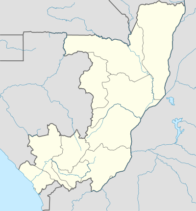 KNJ Location of airport in the Republic of the Congo | |||||||||||
| Runways | |||||||||||
| |||||||||||
|
Source: Great Circle Mapper[1] | |||||||||||
Kindamba Airport (IATA: KNJ, ICAO: FCBK) is an airport serving the city of Kindamba, Republic of the Congo.
References
- ↑ Airport information for KNJ at Great Circle Mapper.
This article is issued from Wikipedia - version of the 12/4/2016. The text is available under the Creative Commons Attribution/Share Alike but additional terms may apply for the media files.