Mount Kinangop
| Kinangop Mountain | |
|---|---|
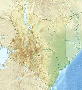 Kinangop Mountain Location in Kenya | |
| Highest point | |
| Elevation | 3,906 m (12,815 ft) [1] |
| Coordinates | 0°37′40″S 36°42′30″E / 0.62765°S 36.70832°ECoordinates: 0°37′40″S 36°42′30″E / 0.62765°S 36.70832°E |
| Geography | |
| Location | Kenya |
| Parent range | Aberdare Range |
Mount Kinangop (or Ilkinangop) is a mountain in the southern Aberdare Range about 100 miles (160 km) north of Nairobi, Kenya. It is within the Aberdare National Park.
A dormant volcano, Kinangop overlooks the Kinangop Plateau to the west and the Great Rift Valley beyond.[2] Kinangop is the second-highest mountain in the Aberdares after Mount Satima.[3] The lower levels of the mountain have extensive bamboo forests. Higher up it is covered by tussock grasses.[1] The main peak is a rocky outcrop surrounded by open moorlands. Due to the height, temperatures are cool and may drop below freezing at night.[4]
References
- 1 2 Wielochowski 1999.
- ↑ Brewer 2005, p. 223.
- ↑ Mani 1968, p. 157.
- ↑ Aberdares South to North.
Sources
- "Aberdares South to North (Njabini to Mutubio)". Mountain Club of Kenya. November 24, 2011. Retrieved 2011-12-29.
- Brewer, Wesley C. (2005). Beyond the Sangres: A Tale of Hope, Pain, And Courage. iUniverse. ISBN 0-595-35068-2.
- Mani, M. S. (1968). Ecology and biogeography of high altitude insects. Springer. ISBN 90-6193-114-2.
- Wielochowski, Andrew (1999). "Aberdare Mountains 3999m". EWP. Retrieved 2011-12-29.
This article is issued from Wikipedia - version of the 3/22/2013. The text is available under the Creative Commons Attribution/Share Alike but additional terms may apply for the media files.