Kilbotn
| Kilbotn | |
|---|---|
| Village | |
 Kilbotn  Kilbotn Location in Troms | |
| Coordinates: 68°43′04″N 16°32′07″E / 68.71778°N 16.53528°ECoordinates: 68°43′04″N 16°32′07″E / 68.71778°N 16.53528°E | |
| Country | Norway |
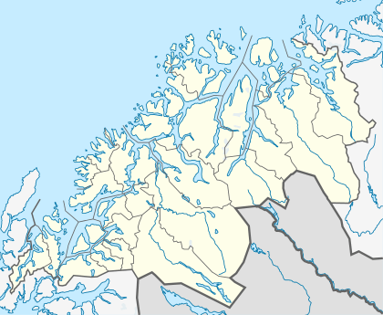
| Region | Northern Norway |
| County | Troms |
| District | Central Hålogaland |
| Municipality | Harstad |
| Elevation[1] | 22 m (72 ft) |
| Time zone | CET (UTC+01:00) |
| • Summer (DST) | CEST (UTC+02:00) |
| Post Code | 9415 Harstad |
Kilbotn is a village in the municipality of Harstad in Troms county, Norway. The village is located about 12 km (7.5 mi) south of the center of the town of Harstad, along the Vågsfjorden on the east side of Hinnøya island.[2] The villages of Fauskevåg and Sørvika are just a few kilometres to the south of Kilbotn. The population (2001) of the village is 332,[3] but since 2002 it has been considered a part of the Harstad urban area.[4]
History
During World War II, Nazi Germany used Kilbotn as a U-boat base. On 4 May 1945, the last air raid of World War II in Europe took place when the Royal Navy's Fleet Air Arm attacked the Kilbotn anchorage with 44 aircraft from three offshore aircraft carriers in Operation Judgement. The harbour contained the submarine depot ship Black Watch with the German submarine U-711 moored alongside. The wreck of Black Watch[5] lies in Kilbotn harbour close to the wreck of U-711.[6]
References
- ↑ "Kilbotn" (in Norwegian). yr.no. Retrieved 2012-08-27.
- ↑ Store norske leksikon. "Kilbotn" (in Norwegian). Retrieved 2010-03-24.
- ↑ Statistisk sentralbyrå (2001). "Folke- og boligtellingen 2001, kommune- og bydelshefter 1901 Harstad" (PDF) (in Norwegian).
- ↑ Statistics Norway (1 January 2002). "Omitted settlements. 1 January 2002".
- ↑ "Black Watch" (in Norwegian). Dykkepedia. Retrieved 2010-03-24.
- ↑ "U 711" (in Norwegian). Dykkepedia. Retrieved 2010-03-24.