Khau Phạ Pass
| Khau Phạ Pass | |
|---|---|
| Vietnamese: Đèo Khau Phạ | |
|
Khau Phạ Pass on National Highway 32 | |
| Elevation | 1,200-1,500 metres (3,900-4,900 ft) |
| Location | Yên Bái, Vietnam |
| Coordinates | 21°46′30″N 104°16′18″E / 21.775°N 104.271667°ECoordinates: 21°46′30″N 104°16′18″E / 21.775°N 104.271667°E |
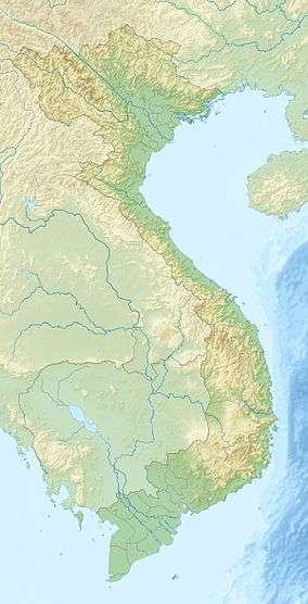 Position of Khau Phạ Pass | |

The Khau Phạ Pass (đèo Khau Phạ) is a mountain pass in Mù Căng Chải District, Yên Bái Province, Vietnam. The area is known for terraced rice paddies.[1]
Etymology
In the tongue of Thái people (an ethnic minority in Vietnam), "Khau Phạ" means "sky-high horn" (Vietnamese: "sừng trời")[2] since the top of the pass - engulfed in dense fog - looks like rising from a sea of clouds.
Geography
Khau Phạ Pass, which lies between Văn Chấn District and Mù Căng Chải District, is the most rugged and longest pass on National Highway 32 with a length of 30 kilometres (19 mi). Starting from Yên Bái City, visitors need to go upward for about five hours before reaching the pass surrounding by endlessly extending mountains.[3] Along Khau Phạ are terraced rice paddies cultivated by H'Mông and Thái ethnic minorities and pristine forests which are home to some rare species such as Parashorea chinensis.[3] An underground river flows beneath the pass.[4]
Along the length of Khau Phạ Pass are dozens of sharp bends, and the pass is especially dangerous for driving on foggy days as there is no barrier or warning sign. The pass has deteriorated much due to the lack of regular maintenance, and the land is easily eroded since the pass is situated upon weak red basalt soil foundation. Adding to that is the constant danger of falling stones from the mountains.[2]
Climate
Located at an altitude of over 1,200 meters above sea level, Khau Phạ has a temperate weather year-round like Da Lat's one, but the temperature is much lower due to its position in the subtropical region.[3] In the winter, there may be temperatures below zero degrees, when snow covers over the pass.[5]
References
- ↑ Huu Nghi (June 25, 2012). "Life on the terraced mountain of Khau Pha". Dan Tri International. Retrieved December 30, 2012.
- 1 2 (Vietnamese) Lam Linh (July 28, 2008). "Những con đèo tuyệt đẹp ở miền Bắc". vietimes.vietnamnet.vn. Archived from the original on July 28, 2008. Retrieved December 30, 2012.
- 1 2 3 (Vietnamese) Thanh Tân (February 1, 2008). "Khau Phạ trong mây". Yen Bai Newspaper. Retrieved December 30, 2012.
- ↑ Cục địa chất Việt Nam (1999). Journal of Geology. Geological Survey of Việt Nam (13-14): p.104.
The underground river flows beneath the Khau Pha Pass at a considerable hydraulic gradient, i.e. nearly 400 m vertical to 4-5 km horizontal.
Missing or empty|title=(help) - ↑ (Vietnamese) "Băng tuyết ở Mù Căng Chải". VTC News. December 16, 2008. Retrieved December 30, 2012.