Khao Luang
| Khao Luang | |
|---|---|
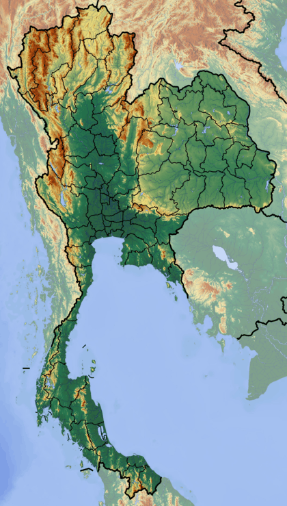 Khao Luang Thailand | |
| Highest point | |
| Elevation | 1,780 m (5,840 ft) [1] |
| Prominence | 1,715 m (5,627 ft) [1] |
| Listing |
Ultra List of mountains in Thailand |
| Coordinates | 8°30′N 99°44′E / 8.500°N 99.733°ECoordinates: 8°30′N 99°44′E / 8.500°N 99.733°E [1] |
| Geography | |
| Location | Nakhon Si Thammarat Province, Thailand |
| Parent range | Nakhon Si Thammarat Range (Southern Tenasserim Hills) |
| Geology | |
| Mountain type | granite |
| Climbing | |
| Easiest route | drive |
Khao Luang (เขาหลวง) is the tallest mountain in southern Thailand. It is located in Nakhon Si Thammarat Province.
Geography
The Khao Luang mountain is the highest summit of a massif of several hills with steep slopes. It is part of the Nakhon Si Thammarat Range, a subrange of the Tenasserim Hills.
Geologically this mountain formation consists of a granite core under loose soils. On steep slopes, the soil covering the mountains can cause landslides when saturated with water.
Some of the forests of the area were felled to give way to rubber plantations.[2]
Khao Luang National Park
Khao Luang National Park is named after Khao Luang mountain. The park is mountainous with many tall peaks along its range.
The park covers an area of 570 square kilometres (220 sq mi) with a large variety of wildlife and habitats, including mountains, forests, rivers and waterfalls. The area also provides an important watershed for the surrounding villages and farms. Park provides a green roof to southern Thailand and its quality earned it an award in 1999 for being a place of outstanding beauty and nature. The park was officially designated a National Park on 18 December 1974, becoming the ninth National Park in Thailand. The headquarters of the park is 30 kilometres (19 mi) from the town of Nakhon Si Thammarat.
The mountainous Park is a watershed for the Tapee River, Pakphanang River, Klai River and Pakpoon River, Nopphitam.
Climate
Due to the park's location on the peninsula, it receives monsoons from both the east and the west coasts and means that the park receives a great deal of rain all year and also cold weather. There are two main seasons. Rainy season from May through to January with the heaviest of the rainfall between October and December. Hot season is between February and April. Over the year the park receives approximately 3,500–4,500 millimetres (140–180 in) of rainfall. The highest temperatures range from 28 °C (82 °F) to 30 °C (86 °F) and the lowest from 15 °C (59 °F) to 15 °C (59 °F)in January and February.
Flora and fauna
Moist evergreen forest, which can be found in the valleys and in damp gullies and riversides. Hill evergreen forest and lower montaine forest. Over 300 species of orchids can be seen within the park. Khao Luang is the only place in the world where some of these can be found. There are no fewer than 327 species of animals living in Khao Luang, some of these include; Malayan tapir (only seen if you are very lucky), Sumatran serow, pig-tailed macaque, Asiatic brush-tailed porcupine, clouded leopard, barking deer, sambar deer, binturong, panther, tiger, wild pig, banded langur and spectacled langur. Bird species include black eagle, red junglefowl, great argus pheasant, crested fireback pheasant, white-crowned hornbill, bushy-crested hornbill, great pied hornbill, helmeted hornbill, red-crowned barbet and sunbirds.
Similarly named locations
There are other mountains called "Khao Luang" in other locations in Thailand:
- Khao Luang, Hui Yang, Prachuap Khiri Khan Province, Hui Yang waterfall National Park.[3]
- Khao Luang (92 m) and Khao Luang Cave, Hua Hin.[4]
- Khao Luang Cave Temple near Phetburi.[5]