Kfar Beit
Coordinates: 33°29′45″N 35°27′41″E / 33.495721°N 35.461252°E
| Kfar Beit كفر بيت | |
|---|---|
 Kfar Beit | |
| Coordinates: LB 33°29′46″N 35°27′38.99″E / 33.49611°N 35.4608306°E | |
| Country |
|
| Governorate | South Governorate |
| District | Sidon District |
Kfar Beit (also known as كفر بيت, Kfar Beït, Kafr Bayt or Kfarbeet) is a Lebanese village in the south of Lebanon. It is close to the city of Saida. Kfar Beit has an average elevation of 374 meters or 1,227 feet.[1]
The closest airport is the Rafic Hariri International Airport[2]
References
- ↑ "Kfar Beit, Lebanon". MBendi. Retrieved 27 July 2015.
- ↑ "Kfar Beit, Lebanon Page". Falling Rain Genomics. Retrieved 28 July 2015.
External links
- Official Website
- Lebanese Laws (in Arabic)
- Kfar Beit, Localiban
| Capital | 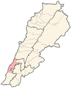 | |
|---|---|---|
| Towns and villages | ||
| Other | ||
This article is issued from Wikipedia - version of the 9/9/2016. The text is available under the Creative Commons Attribution/Share Alike but additional terms may apply for the media files.