Kent State University Airport
Coordinates: 41°09′05″N 081°24′54″W / 41.15139°N 81.41500°W
| Kent State University Airport | |||||||||||||||||||
|---|---|---|---|---|---|---|---|---|---|---|---|---|---|---|---|---|---|---|---|
 | |||||||||||||||||||
| IATA: none – ICAO: none – FAA LID: 1G3 | |||||||||||||||||||
| Summary | |||||||||||||||||||
| Airport type | Public | ||||||||||||||||||
| Owner | Kent State University | ||||||||||||||||||
| Serves | Kent, Ohio | ||||||||||||||||||
| Location | Stow, Ohio | ||||||||||||||||||
| Elevation AMSL | 1,134 ft / 345 m | ||||||||||||||||||
| Map | |||||||||||||||||||
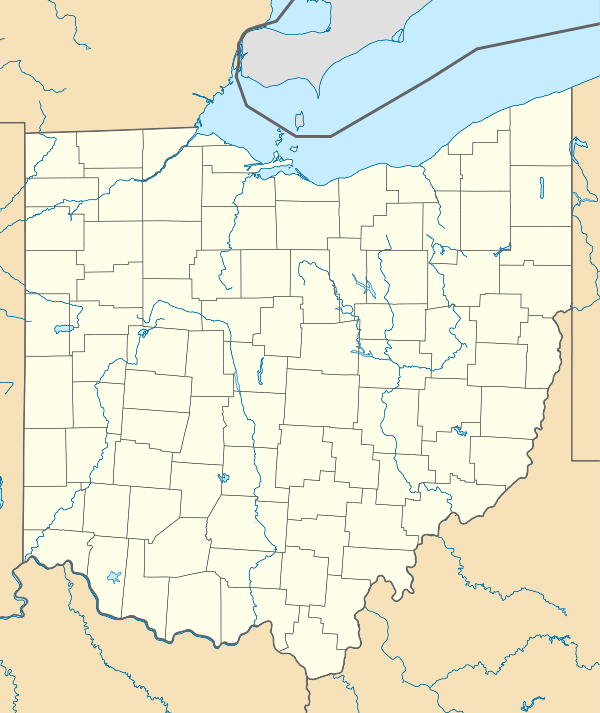
 1G3  1G3 Location of airport in Ohio/United States | |||||||||||||||||||
| Runways | |||||||||||||||||||
| |||||||||||||||||||
| Statistics (2005) | |||||||||||||||||||
| |||||||||||||||||||
Kent State University Airport (FAA LID: 1G3) is a public airport in Stow, Ohio, United States owned by Kent State University. The airport is located along State Route 59 (Kent Road) approximately three miles (5 km) west of the central business district of Kent.[1]
Besides being a public airport, the Kent State University Airport is used by the College of Applied Engineering, Sustainability and Technology for its in-house Aeronautics program which provides flight training and other professional aeronautical training including Air Traffic Control and Airport Management studies to enrolled Kent State University students. The airport also operates a Flight Clinic for the general public who are interested in attaining private pilot instruction. Kent State had a leading Pilot Training Bridge Program with United Express designed to help highly skilled and qualified students migrate as a pilot into the airline industry.[3]
Facilities and aircraft
Kent State University Airport covers an area of 298 acres (121 ha) which contains one runways:[1]
- Runway 1/19: 4,000 x 60 ft (1,219 x 18 m), Surface: Asphalt
For the 12-month period ending November 8, 2005, the airport had 72,500 aircraft operations, an average of 198 per day: 97% general aviation, 2% air taxi and <1% military. There are 50 aircraft based at this airport: 96% single-engine and 4% multi-engine.[1]
References
- 1 2 3 4 FAA Airport Master Record for 1G3 (Form 5010 PDF), effective 2007-07-05
- ↑ Kent State University Airport
- ↑ College of Technology's Aeronautics Program
http://www2.kent.edu/caest/undergraduate/aeronautics/index.cfm
External links
- Resources for this airport:
- FAA airport information for 1G3
- AirNav airport information for 1G3
- FlightAware airport information and live flight tracker
- SkyVector aeronautical chart for 1G3
- Photos and Events at KSU Airport
