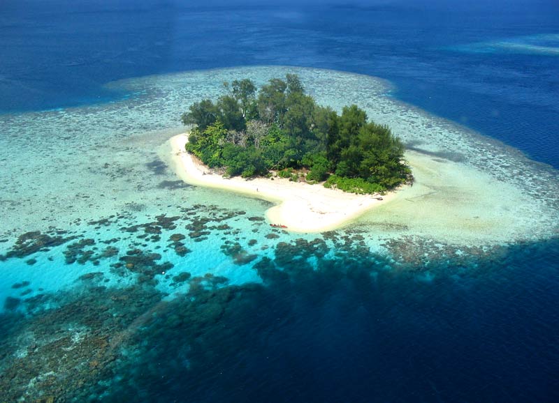
Kennedy Island
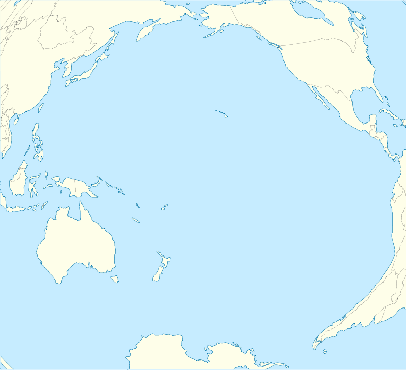
Kennedy Island (colloquially known as Plum Pudding Island, though the correct local name is Kasolo Island) is a small uninhabited island in the Solomon Islands that was named after John F. Kennedy, following an incident involving Kennedy during his World War II naval career. Kennedy Island lies 15 minutes by boat from Gizo, the provincial capital of the Solomon Islands' Western Province.
PT-109 incident
The island is notable for its role in the story of PT-109, part of the Pacific Ocean theater of World War II. In August 1943 it was to this island that the crew of the PT-109, commanded by then Lieutenant Kennedy, swam after their craft was rammed and wrecked by the Japanese destroyer Amagiri. Two American sailors died in the incident.[1] Kennedy later had the crew swim to the larger Olasana Island.[2]
A small shrine to Kennedy, built by Solomon Islander Eroni Kumana who aided in the rescue of the crew, stands on the island.[3]
Recent history

The island remains uninhabited, but is a tourist attraction.[4] In 2003 a race was held where participants re-enacted Kennedy's swim.[2]
Previously a public area, it was acquired in 2004 at a cost of SI$7000 (US$950) by Joseph Douglas, an advisor to then Caretaker Premier of Western Province Clement Base.[4][5] The legality of the sale was the subject of a legal challenge.[4][5]
External links
References
- ↑ "John F. Kennedy and PT109". John F. Kennedy Presidential Library and Museum. Retrieved 6 August 2014.
- 1 2 "JFK's epic Solomons swim". BBC. 30 July 2003. Retrieved 6 August 2014.
- ↑ Brown, Rob (6 August 2014). "The Solomon Islanders who saved JFK". BBC. Retrieved 6 August 2014.
- 1 2 3 Szetu, Robertson (10 March 2005). "KENNEDY ISLAND SALE TO BE CHALLENGED IN SOLOMONS". Pacific Islands Report. Retrieved 6 August 2014.
- 1 2 Jones, Lloyd (13 June 2005). "JFK's island back in the wars". The Age. Retrieved 6 August 2014.
Coordinates: 8°6′46″S 156°54′20″E / 8.11278°S 156.90556°E