Kelle Airport
| Kelle Airport | |||||||||||
|---|---|---|---|---|---|---|---|---|---|---|---|
| IATA: KEE – ICAO: FCOK | |||||||||||
| Summary | |||||||||||
| Serves | Kellé, Republic of the Congo | ||||||||||
| Elevation AMSL | 1,526 ft / 465 m | ||||||||||
| Coordinates | 0°04′20″S 14°30′25″E / 0.07222°S 14.50694°ECoordinates: 0°04′20″S 14°30′25″E / 0.07222°S 14.50694°E | ||||||||||
| Map | |||||||||||
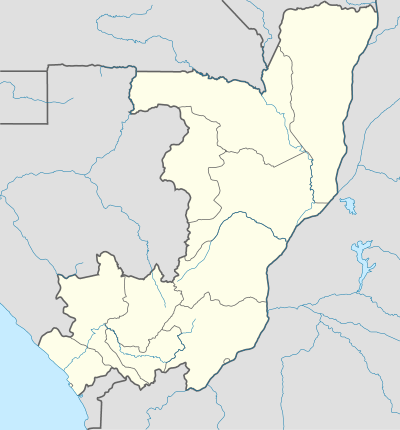 KEE Location of airport in the Republic of the Congo | |||||||||||
| Runways | |||||||||||
| |||||||||||
Kellé Airport (IATA: KEE, ICAO: FCOK) is an airport serving the village of Kellé in the Cuvette-Ouest Department, Republic of the Congo. The runway is 1.6 kilometres (0.99 mi) southeast of the village.
See also
 Republic of the Congo portal
 Aviation portal
- List of airports in the Republic of the Congo
- Transport in the Republic of the Congo
References
- ↑ Airport information for KEE at Great Circle Mapper.
- ↑ Google Maps - Kellé
External links
This article is issued from Wikipedia - version of the 12/4/2016. The text is available under the Creative Commons Attribution/Share Alike but additional terms may apply for the media files.