Kawkaban
| Kawkaban | |
|---|---|
|
Kawkaban Gate | |
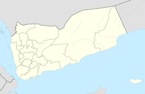 Kawkaban Location in Yemen | |
| Coordinates: 15°30′N 43°54′E / 15.500°N 43.900°E | |
| Country |
|
| Governorate | Sana'a Governorate |
| Time zone | Yemen Standard Time (UTC+3) |

Kawkaban (Arabic: كوكبان) is a town in the northern-western part of Yemen, containing a fortified citadel about 2,931 m (9,616 ft) above sea level.[1] The city is built upon a precipitous hilltop, walled from the north and fortified naturally from the other directions. It was a capital of Bani Sharaf Al-Deen in the 9th century AH (15th century CE). It was also home to a Jewish community, until its demise in the mid-20th century. The city affords a good prospect of the surrounding countryside.
The city features several old mosques: Almadrasa, Almansoor, Alsharefa and Harabat. The old market is located in the middle of the city. Old rainwater reservoirs can also be seen in the fortified town, named Meseda, Alasdad, and Sedalhamam.
In the early 20th century, the mountain village was visited by German explorer and photographer, Hermann Burchardt, who wrote in May 1902: “Kawkaban, a now completely deserted town that still 40 years ago counted 30,000 inhabitants, but now hardly holds a few hundred; [it] also has its Jewish quarter, where still some families live.”[2] Of the city's more popular citizens was the renowned Jewish poet, Zechariah Dhahiri.
Etymology
The name "Kawkaban," or "two stars", is said to be derived from two ornate palaces that are built in the city, and which are said to have resembled stars at night.
Coordinates: 15°30′N 43°54′E / 15.500°N 43.900°E
References
- ↑ Weather in Jabal Kawkabān Freemeteo. Retrieved on 11/08/2016.
- ↑ Hermann Burchardt, Die Juden in Yemen, in: “Ost und West”, Berlin 1902, p. 340.