Katse Airport
| Katse Airport | |||||||||||
|---|---|---|---|---|---|---|---|---|---|---|---|
| IATA: none – ICAO: FXKA | |||||||||||
| Summary | |||||||||||
| Airport type | Public | ||||||||||
| Serves | Katse Dam | ||||||||||
| Elevation AMSL | 7,000 ft / 2,134 m | ||||||||||
| Coordinates | 29°21′49″S 28°31′38″E / 29.36361°S 28.52722°ECoordinates: 29°21′49″S 28°31′38″E / 29.36361°S 28.52722°E | ||||||||||
| Map | |||||||||||
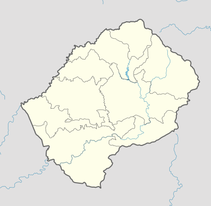 FXKA Location of the airport in Lesotho | |||||||||||
| Runways | |||||||||||
| |||||||||||
Katse Airport (ICAO: FXKA) is an airport serving the Katse Dam section of the Lesotho Highlands Water Project in north-central Lesotho.
Runway has a 700 feet (213 m) overrun on the south end.
See also
- Transport in Lesotho
- List of airports in Lesotho
 Aviation portal
References
- ↑ Airport information for FZKA at Great Circle Mapper.
- ↑ Google Maps - Katse
External links
- Katse Airport
- OurAirports - Lesotho
- Google Earth
This article is issued from Wikipedia - version of the 12/5/2016. The text is available under the Creative Commons Attribution/Share Alike but additional terms may apply for the media files.