Kathirvedu
| Kathirvedu கதிர்வேடு | |
|---|---|
| Neighbourhood | |
 Kathirvedu  Kathirvedu  Kathirvedu | |
| Coordinates: IN 13°09′08″N 80°12′00″E / 13.152287°N 80.199924°ECoordinates: IN 13°09′08″N 80°12′00″E / 13.152287°N 80.199924°E | |
| Country |
|
| State |
|
| District | Thiruvallur |
| Metro | Chennai |
| Zone | Manali Zone No 2 |
| Ward | Mathur (Ward 19) |
| Elevation | 7 m (23 ft) |
| Languages | |
| • Official | Tamil |
| Time zone | IST (UTC+5:30) |
| PIN | 600066 |
| Telephone code | 044 |
| Vehicle registration | TN-20-xxxx & TN-18-xxxx(new) |
| Planning agency | CMDA |
| City | Chennai |
| Lok Sabha constituency | North Chennai |
| Vidhan Sabha constituency | Madhavaram |
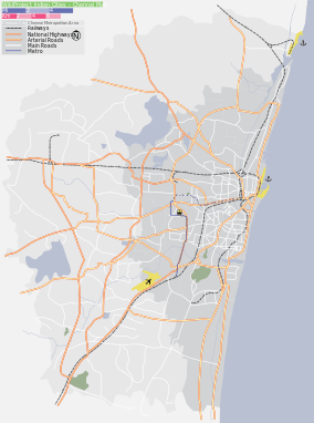
Kathirvedu has developed from being a rural area along the Redhills high road to become one of the important residential localities of Chennai. It was a village panchayat till December 2014.Now as per a G.O., Kathirvedu has become a part of the zone 3, Madhavaram, of the Chennai Corporation.Though Kathirvedu has escalated itself from being a less-known suburb to a nominally decent suburban centre it still has not grown on par with the other localities in Chennai itself.For instance it still lacks proper roads and connectivity albeit the Corporation of Chennai has been carrying on various infrastructure projects in full-swing which are expected to reach completion soon.
This article is issued from Wikipedia - version of the 8/7/2016. The text is available under the Creative Commons Attribution/Share Alike but additional terms may apply for the media files.