Karmazinai mound
| Karmazinai mound | |
|---|---|
 Karmazinai mound | |
| Coordinates: 54°49′09″N 24°55′52″E / 54.81917°N 24.93111°ECoordinates: 54°49′09″N 24°55′52″E / 54.81917°N 24.93111°E | |
| Country |
|
| Ethnographic region | Dzūkija |
| County | Vilnius County |
| Municipality | Vilnius district municipality |
| Eldership | Dūkštas eldership |
| Time zone | EET (UTC+2) |
| • Summer (DST) | EEST (UTC+3) |
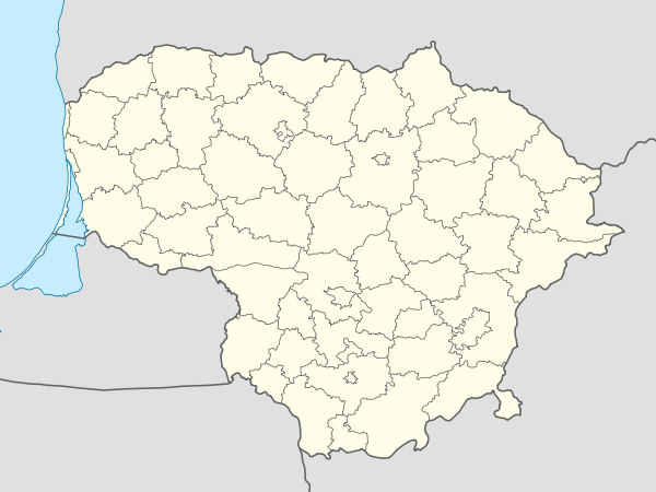
The Karmazinai mound (also called Viršupis) is a burial mound and hill fort (piliakalnis) in Vilnius district municipality, Lithuania. It is situated by : N54°49'09.4"; E24°55'52.1", about 0.8 km northwest of the Karmazinai village, 40 m from the right bank of the Dūkšta River, close to its confluence with Neris.[1][2]

Tumuli of Karmazinai
References
- ↑ "Karmazinų pilkapyno tyrinėjimai 1997 metais" ("1997 Exploration of Karmazinai Tumuli") by Gintautas Vėlius (Lithuanian)
- ↑ Karmazinai Hill Fort
This article is issued from Wikipedia - version of the 7/3/2016. The text is available under the Creative Commons Attribution/Share Alike but additional terms may apply for the media files.