Karbonkelberg
| Karbonkelberg | |
|---|---|
.jpg) View from the west of Duiker Point below the Karbonkelberg | |
| Highest point | |
| Elevation | 653 m (2,142 ft) |
| Listing | List of mountains in Greenland |
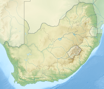
| Coordinates | 34°2′S 18°19′E / 34.033°S 18.317°ECoordinates: 34°2′S 18°19′E / 34.033°S 18.317°E |
| Geography | |
 Karbonkelberg | |
Karbonkelberg is a small peak forming part of the Table Mountain National Park in Cape Town, South Africa.
Geography
It forms a prominent landmark overlooking the harbour at Hout Bay.[1] An unusual feature is that sand has been blown up it by the wind, causing a dune-like feature. This has been popular with local residents to surf down it on polished boards or sheets. Its cliff on the southern side is also a famous climbing spot.
In the North it is bordered by Table Mountain National Park, comprising the Orangekloof Nature reserve and the lower slopes of Table Mountain beyond.
It is bordered by the Atlantic and the Little Lions Heads (Klein Leeukop), Kapteins Peak and the Sentinel mountain.
The peak is popular for short treks and mountainbiking.[2]
See also
References
External links
 Media related to Karbonkelberg at Wikimedia Commons
- "Karbonkelberg photos". UCT Mountain & Ski Club South Africa. Retrieved 2010-03-03.
This article is issued from Wikipedia - version of the 4/21/2016. The text is available under the Creative Commons Attribution/Share Alike but additional terms may apply for the media files.