Kalteiche
| Kalteiche | |
|---|---|
|
The Kalteiche seen from Wilden (Jun 2007); clearly visible is the windthrow after Hurricane Kyrill (Jan 07) | |
| Highest point | |
| Elevation | 579.9 m above sea level (NHN) (1,903 ft) [1] |
| Coordinates | 50°48′00″N 8°08′09″E / 50.800056°N 8.135972°ECoordinates: 50°48′00″N 8°08′09″E / 50.800056°N 8.135972°E |
| Geography | |
 Kalteiche near Wilgersdorf; | |
| Parent range | Rothaar |
.JPG)
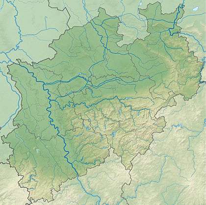
The Kalteiche near Wilgersdorf is a hill, 579.9 m above sea level (NHN),[1] in the German state of North Rhine-Westphalia. It lies within the county of Siegen-Wittgenstein and is one of the higher summits in the Rothaar Mountains and the highest point in the municipality of Wilnsdorf.
References
This article is issued from Wikipedia - version of the 12/6/2015. The text is available under the Creative Commons Attribution/Share Alike but additional terms may apply for the media files.