Kahlouniyeh
| Kahlouniyeh الكحلونية Al-Kahluniyah | |
|---|---|
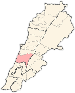
 Kahlouniyeh Location in Lebanon | |
| Coordinates: 33°39′21″N 35°35′25″E / 33.65583°N 35.59028°ECoordinates: 33°39′21″N 35°35′25″E / 33.65583°N 35.59028°E | |
| Country | Lebanon |
| Governorate | Mount Lebanon |
| District | Chouf |
| Area | |
| • Total | 375 ha (927 acres) |
| Elevation | 850 m (2,790 ft) |
Kahlouniyeh, (Arabic: الكحلونية) also written El Kahloûnîyé, is a municipality in the Chouf District of Mount Lebanon Governorate, Lebanon. It has an average elevation of 850 meters above sea level and its total land area is 375 hectares.[1] Its inhabitants are predominantly Druze.[2] Kahlouniyeh was named for the Arabic word "khôl", an eye makeup, and the area was involved in the trade and production of it. The Souayjani castle ruins are in the area. The location of Kahlouniyeh is 850 meters above sea level.[1] Kahlouniyeh was the birthplace of the Arab nationalist rebel commander, Hamad Sa'b.[3]
References
- 1 2 Kahlouniyeh Localiban. 2008-01-01.
- ↑ "Druze communities in the Middle East". British Druze Society. Archived from the original on September 11, 2011.
- ↑ Swayd, Sami S. (2009), The A to Z of the Druzes, Rowman & Littlefield, p. 139
Capital: Beitedine | ||
| Towns and villages |
|  |
| Notable landmarks | ||
This article is issued from Wikipedia - version of the 10/5/2016. The text is available under the Creative Commons Attribution/Share Alike but additional terms may apply for the media files.