Kaduna Airport
| Kaduna Airport | |||||||||||
|---|---|---|---|---|---|---|---|---|---|---|---|
| IATA: KAD – ICAO: DNKA | |||||||||||
| Summary | |||||||||||
| Airport type | Public / Military | ||||||||||
| Owner/Operator | Federal Airports Authority of Nigeria (FAAN) | ||||||||||
| Serves | Kaduna, Nigeria | ||||||||||
| Elevation AMSL | 2,073 ft / 632 m | ||||||||||
| Coordinates | 10°41′45″N 7°19′15″E / 10.69583°N 7.32083°E | ||||||||||
| Map | |||||||||||
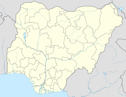 KAD Location of the airport in Nigeria | |||||||||||
| Runways | |||||||||||
| |||||||||||
Kaduna Airport (IATA: KAD, ICAO: DNKA) is an airport serving Kaduna, the capital of Kaduna State in Nigeria. The airport is around 22 kilometres (14 mi) northwest of the city.
The Kaduna VOR-DME (Ident: KDA) and two non-directional beacons (Ident: KL and KC) are located off the approach end of Runway 05.[4][5] The runway length does not include 116 metres (381 ft) displaced thresholds on each end of the runway.[3]
Kaduna also has an older airport located on the northern edge of the city.
Airlines and destinations
| Airlines | Destinations |
|---|---|
| Arik Air | Lagos |
| Aero Contractors | Lagos |
| Azman Air Services Ltd | Lagos |
Accidents and incidents
- Nigeria Airways Flight 357 (1995) took place at the airport
- On 20 August 2010, Chanchangi Airlines Flight 334, operated by Boeing 737-200 5N-BIF struck the localizer antenna and landed short of the runway. Several passengers were slightly injured and the aircraft was substantially damaged. Chanchangi Airlines again suspended operations following the accident.[6]
See also
References
- ↑ Airport information for DNKA at World Aero Data. Data current as of October 2006.Source: DAFIF.
- ↑ Airport information for KAD at Great Circle Mapper.
- 1 2 Google Maps - Kaduna
- ↑ OurAirports - KDA VOR
- ↑ OurAirports - KD NDB
- ↑ Hradecky, Simon. "Accident: Chanchangi B732 at Kaduna on Aug 20th 2010, landed short of runway". Aviation Herald. Retrieved 22 August 2010.
External links
- Accident history for KAD at Aviation Safety Network
- FAAN - Kaduna facilities
- OurAirports - Kaduna
- OpenStreetMap - Kaduna
- SkyVector - Kaduna
This article is issued from Wikipedia - version of the 10/27/2016. The text is available under the Creative Commons Attribution/Share Alike but additional terms may apply for the media files.