Köthener See
| Köthener See | |
|---|---|
 | |
| Location | Landkreis Dahme-Spreewald, Brandenburg |
| Coordinates | 52°4′49.5″N 13°48′43.0″E / 52.080417°N 13.811944°ECoordinates: 52°4′49.5″N 13°48′43.0″E / 52.080417°N 13.811944°E |
| Primary inflows | Randkanal (Wasserburger Spree), Dahme-Umflutkanal |
| Primary outflows | Dahme-Umflutkanal |
| Basin countries | Germany |
| Max. length | 2,250 m (7,380 ft) |
| Max. width | 1 km (0.62 mi) |
| Surface area | 1.48 km2 (0.57 sq mi) |
| Max. depth | 2.0 m (6 ft 7 in) |
| Surface elevation | 43 m (141 ft) |
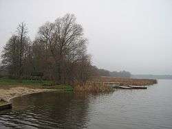
Köthener See is a lake in Landkreis Dahme-Spreewald, Brandenburg, Germany. It lies at an elevation of 43 m, and has a surface area of 1.48 km². It is located in the municipality of Märkisch Buchholz, Dahme-Spreewald district.
External links
![]() Media related to Köthener See at Wikimedia Commons
Media related to Köthener See at Wikimedia Commons
This article is issued from Wikipedia - version of the 4/11/2016. The text is available under the Creative Commons Attribution/Share Alike but additional terms may apply for the media files.