Kåfjord, Alta
| Kåfjord | |
|---|---|
| Village | |
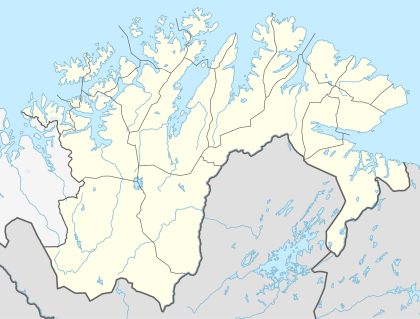 Kåfjord  Kåfjord Location in Finnmark | |
| Coordinates: 69°56′20″N 23°01′43″E / 69.93889°N 23.02861°ECoordinates: 69°56′20″N 23°01′43″E / 69.93889°N 23.02861°E | |
| Country | Norway |
| Region | Northern Norway |
| County | Finnmark |
| District | Vest-Finnmark |
| Municipality | Alta |
| Elevation[1] | 17 m (56 ft) |
| Time zone | CET (UTC+01:00) |
| • Summer (DST) | CEST (UTC+02:00) |
| Post Code | 9518 Alta |
Kåfjord is a village in Alta Municipality in Finnmark county, Norway. The village is located along the Kåfjorden, about 18 kilometres (11 mi) west of the town of Alta along the European route E6 highway. The village of Kvenvik lies about 3 kilometres (1.9 mi) to the east, also along the E6 highway.
Copper ore was mined at Kåfjord between 1826 and 1909.[2] A mining company, Altens Kobberverk, was founded by two Englishmen in 1826. By the 1840s, the village had grown to become the largest settlement in Finnmark county, with over 1,000 inhabitants, including Englishmen from Cornwall. The copper works are now closed and derelict.
In 1837, the British built Kåfjord Church, which was restored in 1969.
At the summit of Mount Haldde, about 9 kilometres (5.6 mi) by a track from Kåfjord, is a restored Northern Lights Observatory, established by Kristian Birkeland in 1899 and operational until 1926, when it was transferred to Tromsø.[3]
During the Second World War, the German battleship Tirpitz used Kåfjord as a harbour, and she was damaged there by British aircraft and by Royal Navy midget submarines in Operation Source. The Tirpitz Museum in the village is devoted to the Tirpitz.[4]
References
- ↑ "Kåfjord, Alta" (in Norwegian). yr.no. Retrieved 2013-01-18.
- ↑ Alta Museum website: The copper mine in Kåfjord
- ↑ Alta Museum website: The northern lights observatory on Haldde
- ↑ "Tirpitz Museum website". Tirpitz-museum.no. Retrieved 2012-07-21.