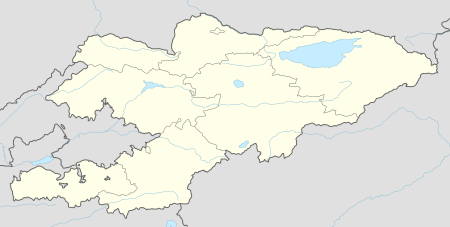
Jyrgalan
| Jyrgalan Жыргалаң | |
|---|---|
 Jyrgalan | |
| Coordinates: 42°36′0″N 79°1′48″E / 42.60000°N 79.03000°ECoordinates: 42°36′0″N 79°1′48″E / 42.60000°N 79.03000°E | |
| Country | Kyrgyzstan |
| Province | Issyk Kul Province |
| Elevation | 2,477 m (8,127 ft) |
| Population (2009)[1] | |
| • Total | 1,014 |
| enumerated de facto population | |
| Time zone | UTC+6 |
Jyrgalan is the only urban-type settlement in the Ak-Suu District of Issyk Kul Province of Kyrgyzstan. It is located at the right bank of Jyrgalan River. It was established in 1964 to support operation of coal mine Jyrgalan. According to 2009 Census the population was 1,014.
References
- ↑ Population and Housing Census 2009. Book 3 (in tables). Provinces of Kyrgyzstan: Issyk-Kul Province (Перепись населения и жилищного фонда Кыргызской Республики 2009. Книга 3 (в таблицах). Регионы Кыргызстана: Иссык-Кульская область (PDF), Bishkek: National Committee on Statistics, 2010, archived from the original (PDF) on August 10, 2011
This article is issued from Wikipedia - version of the 9/10/2016. The text is available under the Creative Commons Attribution/Share Alike but additional terms may apply for the media files.