Judith's Paarl
| Judith's Paarl | |
|---|---|
 Judith's Paarl  Judith's Paarl  Judith's Paarl
| |
|
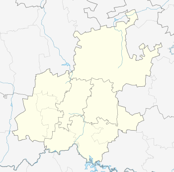
Location within Greater Johannesburg 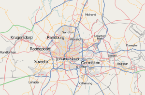 Judith's Paarl | |
| Coordinates: 26°11′25″S 28°04′20″E / 26.1904°S 28.0722°ECoordinates: 26°11′25″S 28°04′20″E / 26.1904°S 28.0722°E | |
| Country | South Africa |
| Province | Gauteng |
| Municipality | City of Johannesburg |
| Main Place | Johannesburg |
| Area[1] | |
| • Total | 0.30 km2 (0.12 sq mi) |
| Population (2011)[1] | |
| • Total | 2,453 |
| • Density | 8,200/km2 (21,000/sq mi) |
| Racial makeup (2011)[1] | |
| • Black African | 81.2% |
| • Coloured | 4.5% |
| • Indian/Asian | 8.8% |
| • White | 2.4% |
| • Other | 3.0% |
| First languages (2011)[1] | |
| • Zulu | 29.9% |
| • English | 17.5% |
| • Xhosa | 8.0% |
| • Southern Ndebele | 6.3% |
| • Other | 38.4% |
| Postal code (street) | 2094 |
Judith's Paarl is a suburb of Johannesburg, South Africa. It is a small suburb found on the eastern edge of the Johannesburg central business district (CBD), tucked between the suburbs of Lorentzville and Bezuidenhout Valley, with Troyeville and Kensington to the south. It is located in Region F.
History
The suburb was founded on one of the original farms on the Witwatersrand, after a strip of land was sold from the farm Doornfontein.[2]:158 The suburb is possibly named after a daughter of the Lorentz family.[2]:157 It had a terminus for the Johannesburg tramway network on the corner of Ascot Road and First Street.[2]:157
References
This article is issued from Wikipedia - version of the 5/1/2016. The text is available under the Creative Commons Attribution/Share Alike but additional terms may apply for the media files.