Johnston Atoll Airport
| Johnston Atoll Airport | |||||||||||
|---|---|---|---|---|---|---|---|---|---|---|---|
 Map of the islands of Johnston Atoll, showing airstrip on Johnston Island | |||||||||||
|
IATA: | |||||||||||
| Summary | |||||||||||
| Airport type | Public | ||||||||||
| Location | Johnston Atoll | ||||||||||
| Elevation AMSL |
| ||||||||||
| Coordinates | 16°43′43″N 169°32′03″W / 16.72861°N 169.53417°WCoordinates: 16°43′43″N 169°32′03″W / 16.72861°N 169.53417°W | ||||||||||
| Map | |||||||||||
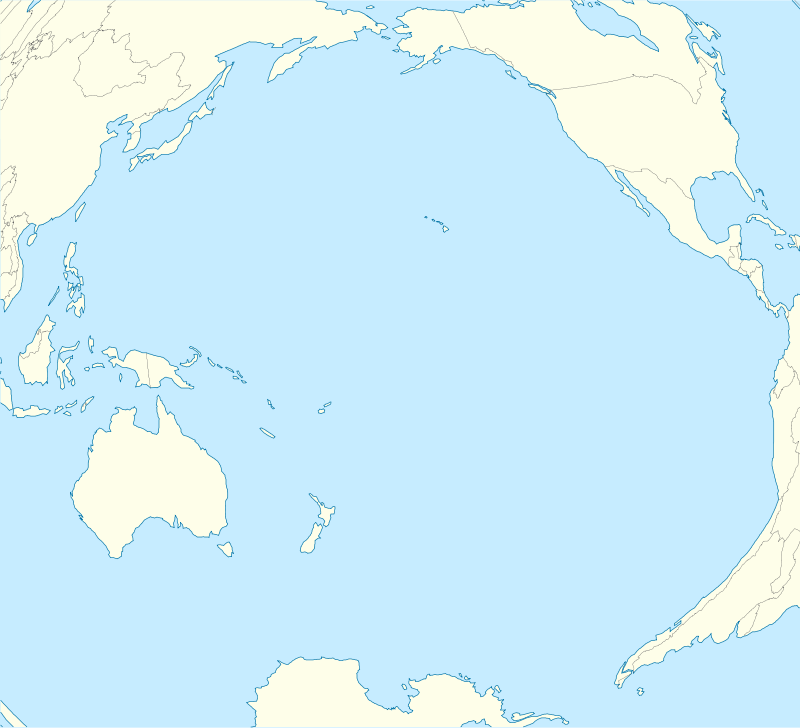 PJON Location in the Pacific Ocean | |||||||||||
| Runways | |||||||||||
| |||||||||||
|
Source:[1] | |||||||||||
Johnston Atoll Airport is located on the Johnston Atoll in the United States Minor Outlying Islands, in the Pacific Ocean 717 nautical miles (1328 kilometers) southwest of Hawaii. While an active U.S. military facility during the 20th century, the airport was shut down in 2005 and the runway is not maintained; it is now used only in emergencies.
References
![]() This article incorporates public domain material from the Air Force Historical Research Agency website http://www.afhra.af.mil/.
This article incorporates public domain material from the Air Force Historical Research Agency website http://www.afhra.af.mil/.
External links
- Johnston Atoll Airport at Abandoned & Little-Known Airfields
- Johnston Atoll Airport at The Airport Guide
- Accident history for JON at Aviation Safety Network
This article is issued from Wikipedia - version of the 12/5/2016. The text is available under the Creative Commons Attribution/Share Alike but additional terms may apply for the media files.