Jinghai District
| Jinghai 静海区 | ||||||||||||||||||||||||||||||||||||||||||||||||
|---|---|---|---|---|---|---|---|---|---|---|---|---|---|---|---|---|---|---|---|---|---|---|---|---|---|---|---|---|---|---|---|---|---|---|---|---|---|---|---|---|---|---|---|---|---|---|---|---|
| District | ||||||||||||||||||||||||||||||||||||||||||||||||
| Country | People's Republic of China | |||||||||||||||||||||||||||||||||||||||||||||||
| Municipality | Tianjin | |||||||||||||||||||||||||||||||||||||||||||||||
| Township-level divisions |
16 towns 2 townships | |||||||||||||||||||||||||||||||||||||||||||||||
| District seat | Jinghai Town (静海镇) | |||||||||||||||||||||||||||||||||||||||||||||||
| Area | ||||||||||||||||||||||||||||||||||||||||||||||||
| • Total | 1,476 km2 (570 sq mi) | |||||||||||||||||||||||||||||||||||||||||||||||
| Elevation | 5 m (18 ft) | |||||||||||||||||||||||||||||||||||||||||||||||
| Population | ||||||||||||||||||||||||||||||||||||||||||||||||
| • Total | 52,0,000 | |||||||||||||||||||||||||||||||||||||||||||||||
| • Density | 350/km2 (910/sq mi) | |||||||||||||||||||||||||||||||||||||||||||||||
| Time zone | China Standard (UTC+8) | |||||||||||||||||||||||||||||||||||||||||||||||
| Postal code | 301600 | |||||||||||||||||||||||||||||||||||||||||||||||
| Area code(s) | 0022 | |||||||||||||||||||||||||||||||||||||||||||||||
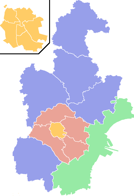
| Tianjin district map |
| |||||||||||||||||||||||||||||||||||||||||||||||
Jinghai District (simplified Chinese: 静海区; traditional Chinese: 靜海區; pinyin: Jìnghǎi Qū) is a district of the municipality of Tianjin, People's Republic of China, located in the southwest portion of the municipality, bordering Hebei province to the south and west, Xiqing District to the north and northeast, and Binhai to the east. It is the birthplace of Huo Yuanjia.
Administrative divisions
There are 16 towns and 2 townships in the district:[1]
| Name | Chinese (S) | Hanyu Pinyin | Population (2010)[2] |
|---|---|---|---|
| Jinghai Town | 静海镇 | Jìnghǎi Zhèn | 154,325 |
| Duliu Town | 独流镇 | Dúliú Zhèn | 36,490 |
| Taitou Town | 台头镇 | Táitóu Zhèn | 22,794 |
| Wangkou Town | 王口镇 | Wángkǒu Zhèn | 32,622 |
| Liangtou Town | 梁头镇 | Liángtóu Zhèn | 24,832 |
| Xizhaizhuang Town | 西翟庄镇 | Xīdízhuāng Zhèn | 13,310 |
| Dafengdui Town | 大丰堆镇 | Dàfēngduī Zhèn | 16,105 |
| Tangguantun Town | 唐官屯镇 | Tángguāntún Zhèn | 44,167 |
| Zhongwang Town | 中旺镇 | Zhōngwàng Zhèn | 31,128 |
| Shuangtang Town | 双塘镇 | Shuāngtáng Zhèn | 16,656 |
| Yanzhuang Town | 沿庄镇 | Yánzhuāng Zhèn | 33,181 |
| Ziya Town | 子牙镇 | Ziyá Zhèn | 31,757 |
| Tuanbo Town | 团泊镇 | Tuánpō Zhèn | 18,299 |
| Daqiuzhuang Town | 大邱庄镇 | Dàqiūzhuāng Zhèn | 72,194 |
| Caigongzhuang Town | 蔡公庄镇 | Càigōngzhuāng Zhèn | 21,498 |
| Chenguantun Town | 陈官屯镇 | Chénguāntún Zhèn | 29,237 |
| Liangwangzhuang Township | 良王庄乡 | Liángwángzhuāng Xiāng | 20,706 |
| Yangchengzhuang Township | 杨成庄乡 | Yángchéngzhuāng Xiāng | 24,987 |
| industrial zones | 2,690 |
References
- ↑ 2011年统计用区划代码和城乡划分代码:静海县 (in Chinese). National Bureau of Statistics of the People's Republic of China. Retrieved 2013-02-22.
- ↑ shi, Guo wu yuan ren kou pu cha ban gong; council, Guo jia tong ji ju ren kou he jiu ye tong ji si bian = Tabulation on the 2010 population census of the people's republic of China by township / compiled by Population census office under the state; population, Department of; statistics, employment statistics national bureau of (2012). Zhongguo 2010 nian ren kou pu cha fen xiang, zhen, jie dao zi liao (Di 1 ban. ed.). Beijing Shi: Zhongguo tong ji chu ban she. ISBN 978-7-5037-6660-2.
External links
 |
Bazhou City, Hebei | Xiqing District | Xiqing District | |
| Wen'an County, Hebei Dacheng County, Hebei |
|
Binhai New Area | ||
| ||||
| | ||||
| Dacheng County, Hebei | Renqiu and Hejian, Hebei | Qing County, Hebei |
| Districts |  | |
|---|---|---|
| Defunct divisions | ||
Coordinates: 38°57′58″N 116°58′37″E / 38.9661°N 116.977°E
This article is issued from Wikipedia - version of the 10/29/2016. The text is available under the Creative Commons Attribution/Share Alike but additional terms may apply for the media files.