Jiaocheng District
| Jiaocheng 蕉城区 | |
|---|---|
| District | |
 Location in Ningde City | |
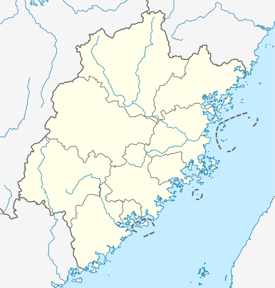 Jiaocheng Location in Fujian | |
| Coordinates: 26°39′42″N 119°31′23″E / 26.66167°N 119.52306°ECoordinates: 26°39′42″N 119°31′23″E / 26.66167°N 119.52306°E | |
| Country | People's Republic of China |
| Province | Fujian |
| Prefecture-level city | Ningde |
| Time zone | China Standard (UTC+8) |
Jiaocheng (Chinese: 蕉城区; pinyin: Jiāochéng; Foochow Romanized: Ciĕu-siàng) is a district of Ningde, Fujian province, PRC. Also called Ningde Shiqu (宁德市区 - Ningde Centre), the district seats the municipality's executive, legislature and judiciary, together with its Communist Party and Public Security Bureau.
Situation
Jiaocheng is bordered by Xiapu and Pingnan counties to the east and west, Zhouning County and Fu'an City to the north, and to the south by Fuzhou municipality's Gutian and Luoyuan counties. A large deep-water bay Sandu Ao gives access to the East China Sea.[1]
Administration
The district oversees two Street committees (jiedao, 街道), one Development zone (kaifa-qu, 开发区), ten towns (zhen, 镇) and four townships (xiang, 乡), of which one is zoned Affirmative action-like for the native She people.[2]
Subdistricts
- Jiaonan Subdistrict (蕉南街道)
- Jiaobei Subdistrict (蕉北街道)
Development zones
- Dongqiao (东侨开发区)
Towns
- Chengnan (城南镇)
- Zhangwan (漳湾镇)
- Qidu (七都镇)
- Badu (八都镇)
- Jiudu (九都镇)
- Feiluan (飞鸾镇)
- Sandu (三都镇)
- Chixi (赤溪镇)
- Huotong (霍童镇)
- Yangzhong (洋中镇)
Townships
- Hongkou Township (洪口乡)
- Shihou Township (石后乡)
- Hubei Township (虎贝乡)
- Jinhan She Ethnic Township (金涵畲族乡)
Transportation
Both Subdistricts, the Ethnic Township and the towns of Feiluan, Chengnan, Qidu and Badu lie on National Route 104, connecting south to Fengshan and north to Fu'an City centre.
Notes and references
- ↑ Fujian-sheng Ditu-ce, Gao XiuJing, ed., China Map Publishing, 1999, ISBN 7-5031-2176-9
- ↑ http://ww.agri.com.cn/town-village/350902.htm