Jiangning District
| Jiangning 江宁区 | |||||||||||||||||||||||||||||||||
|---|---|---|---|---|---|---|---|---|---|---|---|---|---|---|---|---|---|---|---|---|---|---|---|---|---|---|---|---|---|---|---|---|---|
| District | |||||||||||||||||||||||||||||||||
|
A Liu Song Dynasty qilin in a resident's front yard in the town of Qilin, Jiangning District. | |||||||||||||||||||||||||||||||||
 Jiangning Location in Jiangsu | |||||||||||||||||||||||||||||||||
| Coordinates: 31°51′59″N 118°48′07″E / 31.8663°N 118.8019°ECoordinates: 31°51′59″N 118°48′07″E / 31.8663°N 118.8019°E | |||||||||||||||||||||||||||||||||
| Country | People's Republic of China | ||||||||||||||||||||||||||||||||
| Province | Jiangsu | ||||||||||||||||||||||||||||||||
| Sub-provincial city | Nanjing | ||||||||||||||||||||||||||||||||
| Area | |||||||||||||||||||||||||||||||||
| • Total | 1,600 km2 (600 sq mi) | ||||||||||||||||||||||||||||||||
| Population (2008) | |||||||||||||||||||||||||||||||||
| • Total | 760,000 | ||||||||||||||||||||||||||||||||
| • Density | 480/km2 (1,200/sq mi) | ||||||||||||||||||||||||||||||||
| Time zone | China Standard (UTC+8) | ||||||||||||||||||||||||||||||||
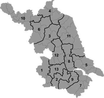
| Nanjing district map |
| ||||||||||||||||||||||||||||||||


Jiangning District (simplified Chinese: 江宁区; traditional Chinese: 江甯區; pinyin: Jiāngníng qū) is one of 11 districts of Nanjing, the capital of Jiangsu province, China. The District has a population of 760,000 and an area of 1600 square kilometers.[1] It includes southern and south-eastern suburbs of Nanjing.
Jiangning Development Zone is located in this district. It has a population of 210,000. The Zone was approved on February 2, 1997 to be a national-level high and new technology industry development zone. In June 2001, the Zone won ISO14001 environmental management system certificate. In June 2002, it won the title of the Jiangsu Provincial Base for Electronic and Information Industry. Approved Power automation industry base by National Science Ministry in October 30, 2004.
Historical sites
- Yangshan Quarry, with an unfinished giant stele from the reign of the Yongle Emperor. Tangshan Town.
- Chuning Tomb of Emperor Wu of Liu Song (ca. 422). Qilin Town
- Tomb of Zheng He
Transportation
References
- ↑ (Chinese) Profile of Jiangning District, Official website of Jiangning District, visited on April 21, 2008.
External links
| Wikimedia Commons has media related to Jiangning District. |