Jhanji
| Jhanji জাঁজী Jhanzi Jaji | |
|---|---|
| Village, Semi-town | |
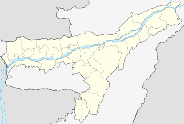 Jhanji  Jhanji Location in Assam, India | |
| Coordinates: 26°53′38″N 94°25′12″E / 26.894°N 94.420°ECoordinates: 26°53′38″N 94°25′12″E / 26.894°N 94.420°E | |
| Country |
|
| State | Assam |
| District | Sivasagar, Jorhat |
| Government | |
| • Body | Mourabazar Gaon Panchayat, Jakaisuk Gaon Panchayat, Jhanji Hanhchara, Tamulisiga |
| Languages | |
| • Official | Assamese |
| Time zone | IST (UTC+5:30) |
| PIN | 785683 |
| Vehicle registration | AS |
Jhanji (Assamese:জাঁজী),(Hindi:जाँजी)is a small semi rural area situated both in Sivasagar and Jorhat district. The river Jhanji or Jaji divides these two districts.
History
The name Jhanji is derived from the river Jhanji, which divides the two districts.
Geography
Jhanji is located at 26.894N94.420E
Transport
The National Highway 37 passes through Jhanji and connects it to the other places of Assam. Jorhat Airport is the nearest airport from Jhanji. The National Highway 61 (India) runs from Kohima, the capital of the state of Nagaland and ends at Jhanji. [1]
| |
|---|---|
|
Road map of India with National Highway 61 highlighted in blue,from Kohima to Jhanji | |
| Highway system | |

.png)
Politics
Jhanji is part of the 103rd Amguri Legislative Assembly. Jhanji is part of the Jorhat (Lok Sabha constituency).[2]
Educational institutions
- Colleges
- Jhanji Hemnath Sarma College, Jhanji Jamuguri
- Ghana Kanta Borah College, Tamulichiga
- Hanhchara Junior College, Jhanji Hanhchara
- Schools
- Chandradhar Gogoi Shankardev Shishu Vidya Niketan
- Jhanji Higher Secondary School
- Jhanji Girls High School
- Jhanji Hanhchara High School
- Jarabari High School
Notable personalities
- Tirthanath Sarma, President of Axom Xahitya Xabha.
- Zubeen Garg, His ancestral home is at Jhanji Tamulisiga.
- Binanda Chandra Barua,known as dhwanikabi, his workplace was Jhanji HS school. He wrote the famous poem 'Rangamuwa Bir' in memory of a Ahom soldier of Jhanji Jamuguri.
- Jagannath Mahanta, notable Satriya dancer.
- Chitralata Phukan, renowned Assamese litterateur.
References
- ↑ "National Highways Starting and Terminal Stations". Ministry of Road Transport & Highways. Retrieved 2012-12-02.
- ↑ "List of Parliamentary & Assembly Constituencies" (PDF). Assam. Election Commission of India. Retrieved 2008-10-06.
This article is issued from Wikipedia - version of the 10/29/2016. The text is available under the Creative Commons Attribution/Share Alike but additional terms may apply for the media files.